
データ
データの閲覧
Records live in an ordinary database on the device. The lists behave like a data grid — you can inspect and correct your own observations without a round trip to a server. Column choice and filtering are available on every list, sorting by column header on a tablet, and every row opens directly into the record's edit form.
リスト
Five lists cover the records you will check most often.
| リスト | 保持する内容 |
|---|---|
| 観察 | プロジェクトで記録されたすべての分類群の出現。フォームの各フィールド、位置、タイムスタンプ、添付した写真を含みます |
| 地点 | 訪問と観察の空間的な基準となる、名前付きの場所 |
| 訪問 | 1 回のセッションで 1 つの地点において行った観察記録をまとめる調査イベント。観察記録の入力をご覧ください |
| 分類群 | The species list for this project — the taxa actually recorded — with a switch to browse the full reference taxonomy |
| ファイル | Photos and attachments across the whole project, shown as a grid or gallery |
観察記録リスト
The observation list is the main working view for checking what was recorded. On a tablet, tap a column header to sort by it and tap again to reverse the order. Tap any row to open the observation's detail form, where you can correct any field and save.
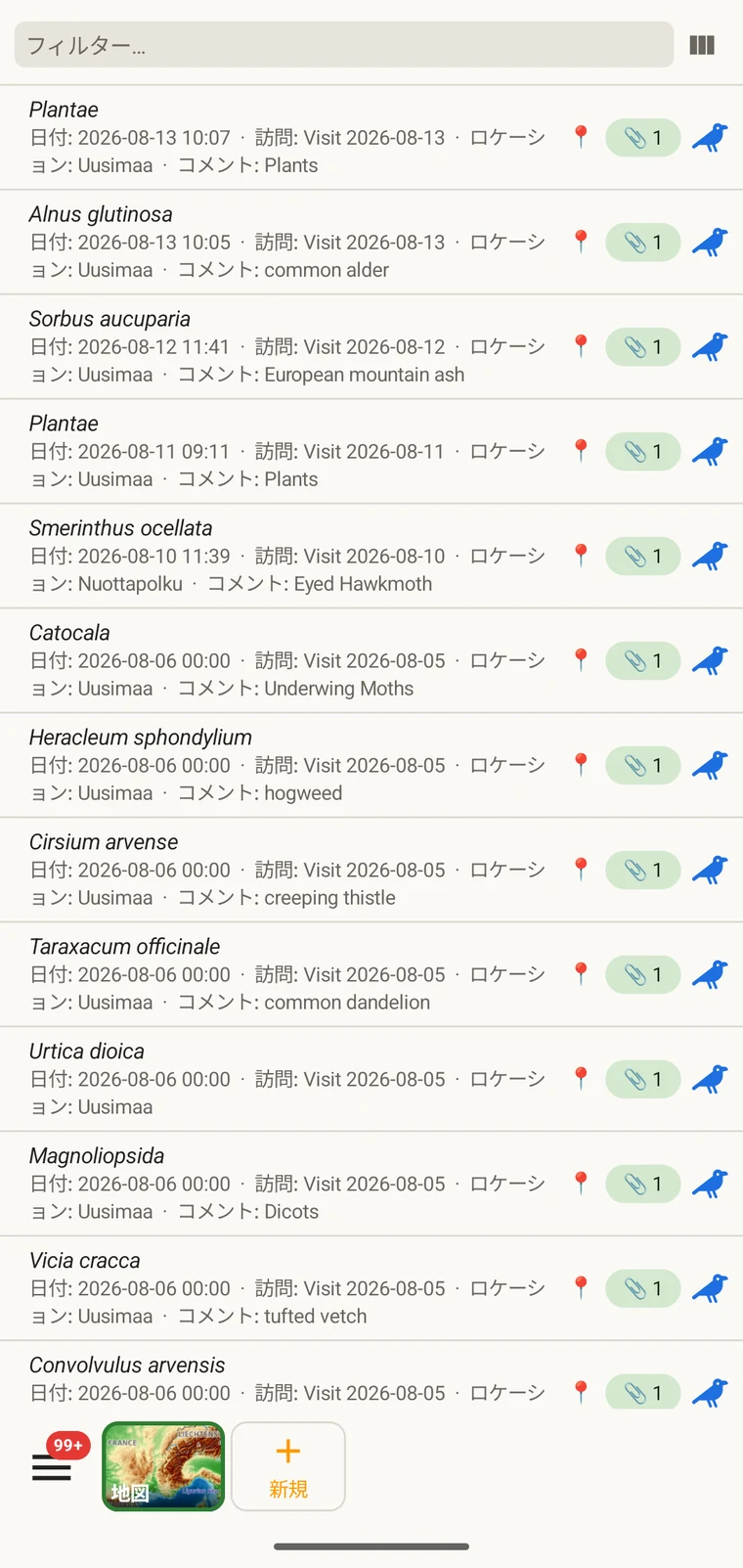
The list always shows the project's complete set of observations. On a tablet, use sorting to spot outliers — sorting by date surfaces any records with an implausible timestamp, and sorting by taxon groups occurrences of the same species so you can compare their field values.
列の選択
列ピッカーでは、リストに表示するフィールドを選択できます。列ピッカーのアイコンをタップして開きます。
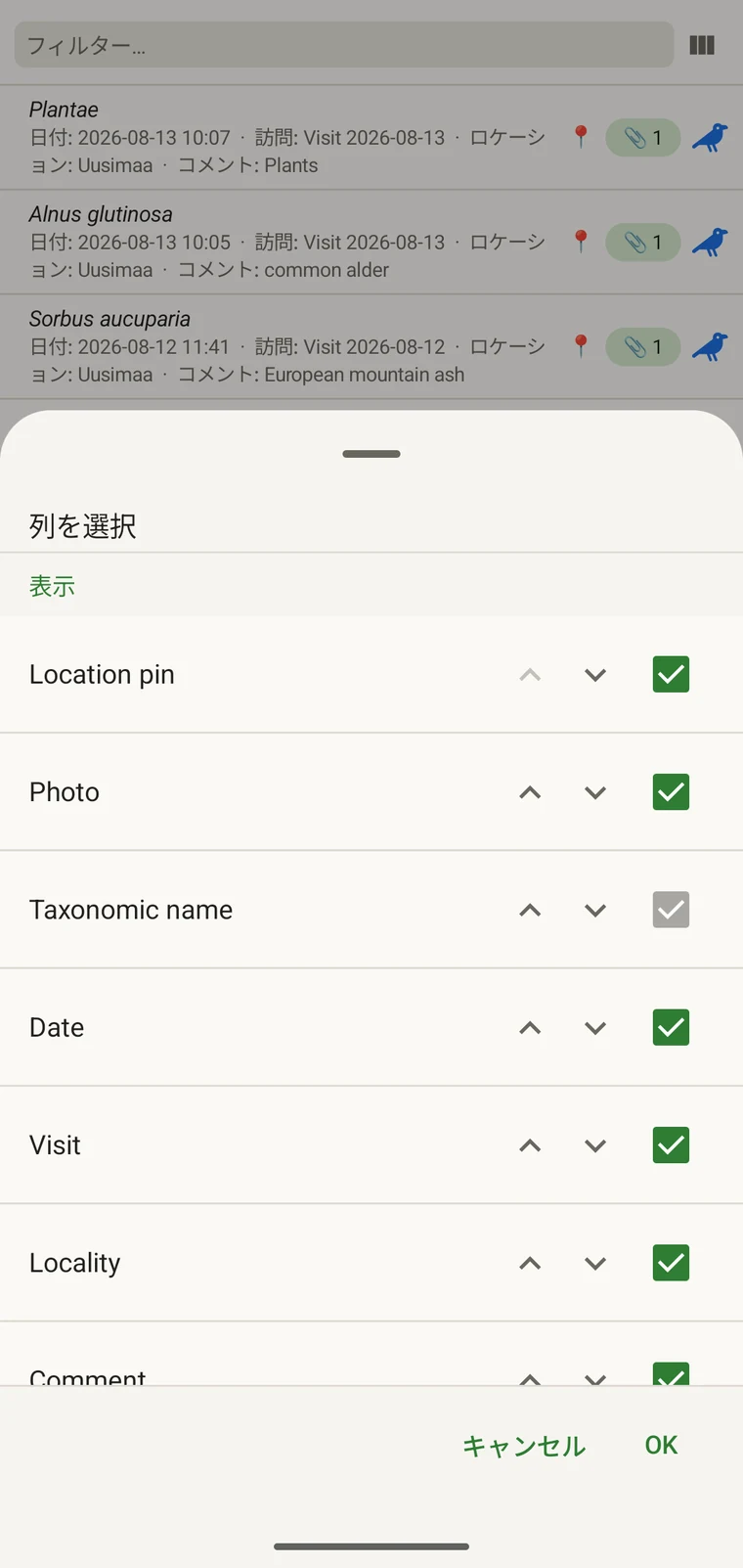
Every custom field appears in the picker; Show in list only decides whether it is on by default (see Forms and custom fields). A practical approach: put the two or three fields you are checking for errors into the list so a visual scan catches them without opening individual records. If you are checking whether abundance counts were filled in, add that column; if you are verifying that the observer name is consistent, add that one instead.
絞り込み
Type in the filter box above the list to narrow it. On a phone one box matches your text against every column shown in the list — taxon, date, visit, locality, comment and any custom column you have added. On a tablet each column has its own filter box under the header, and the boxes combine: typing in two columns returns only rows that match both.
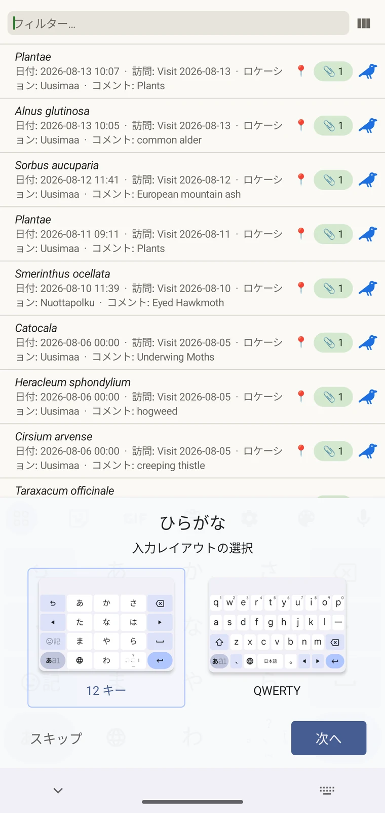
Example — everything recorded on one date. Type the date, for example 2026-04-18, into the filter box. Every observation from that day remains; clear the box to see all rows again.
Filtering matches text that is present. To find records where a field was left blank, add that field as a column and scan the list, or sort by that column on a tablet so the empty cells group together.
訪問と地点
訪問リストと地点リストでは、観察記録そのものとは別に、プロジェクトの空間的・時間的な構造を確認できます。
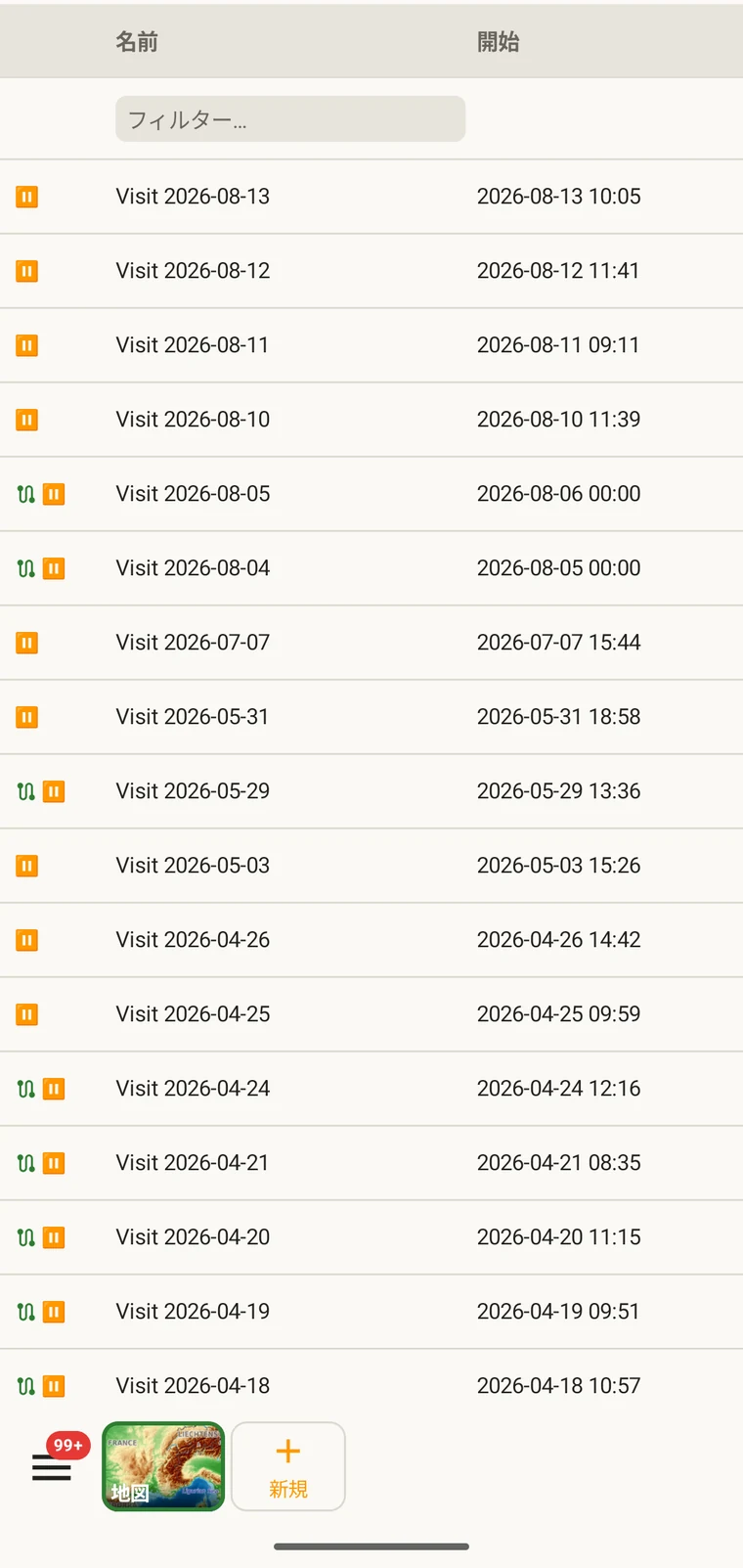
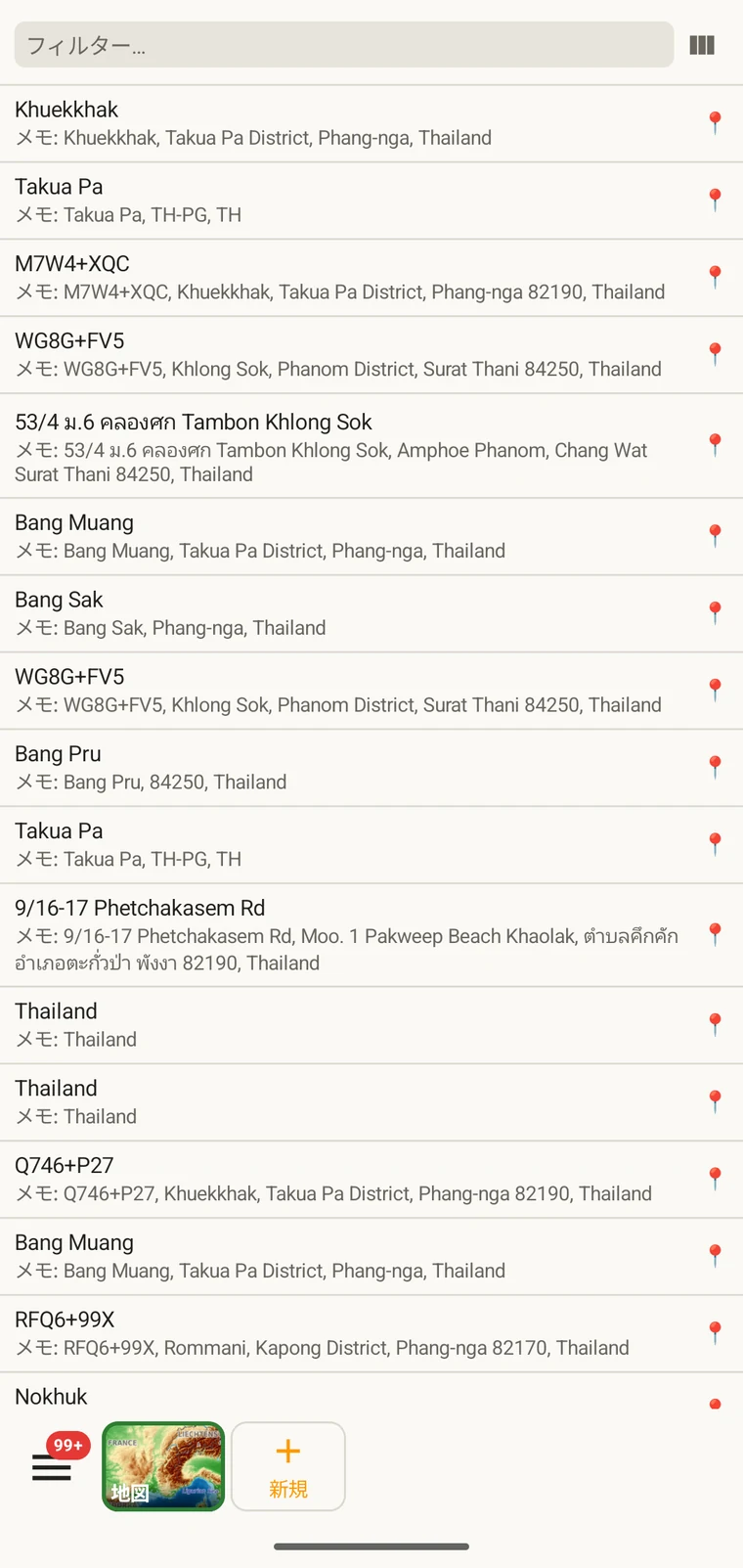
A visit is the survey event that connects a locality to a set of observations made during one session. Opening a visit from this list shows which observations were recorded under it. The localities list shows every named place in the project; tapping one opens its form so you can check or correct its name and position. Both lists filter and open to their edit forms in the same way as the observation list. See Recording observations for how visits and localities are created in the field.
分類群
The taxa list opens on My species — the taxa recorded in the project. Switch to All names to browse the downloaded Catalogue of Life names.
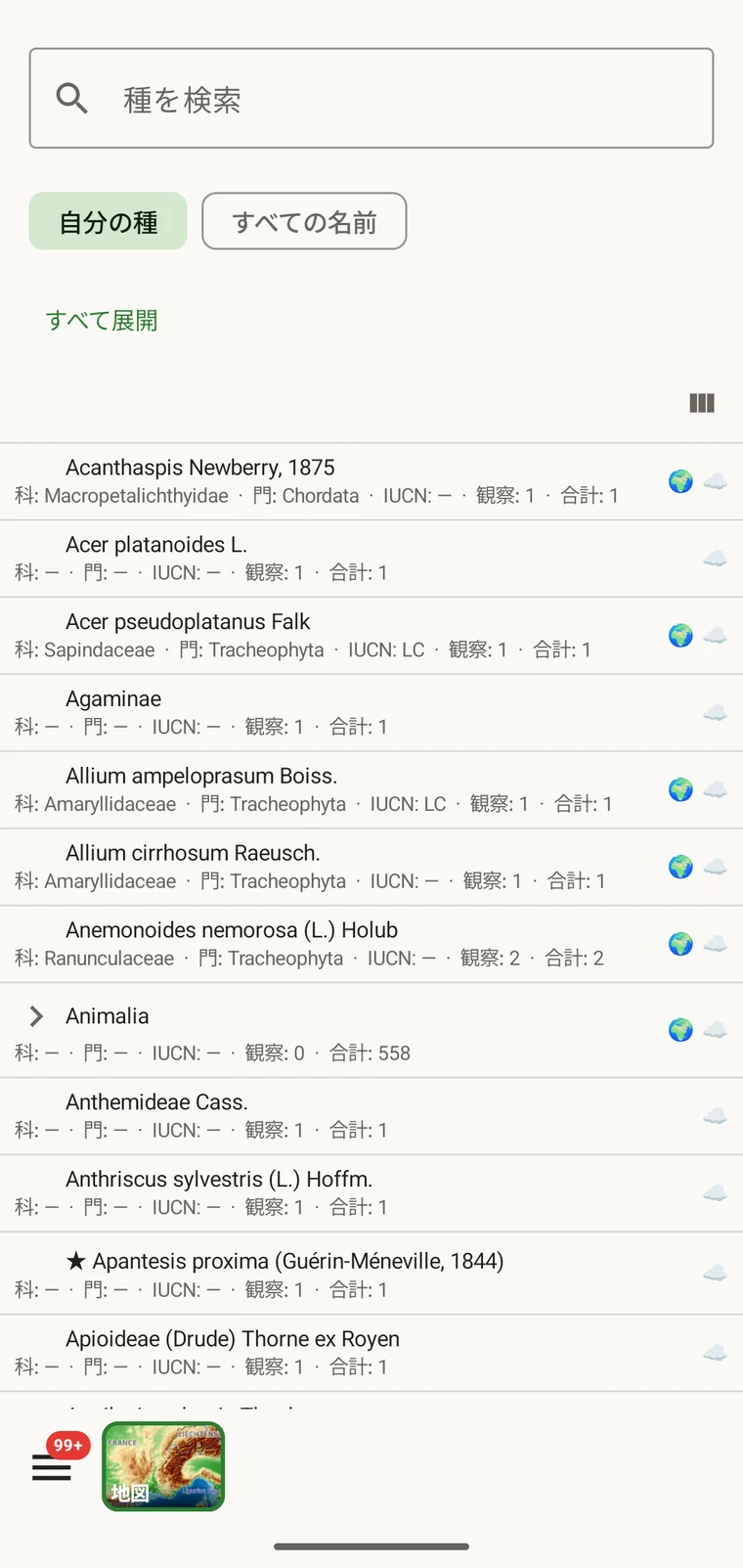
My species is the useful view before export, because it is the project's working species list. It is where you check for spelling inconsistencies and near-duplicate names that arose from entering the same species differently across sessions — for example Tulipa greigii entered once with a capital G, or a vernacular name used as a taxon name on one record. The full reference taxonomy is also available through the search on the observation entry form (see Recording observations).
写真
ファイルビューは、プロジェクトに添付されたすべての画像を 1 つのグリッドに表示します。
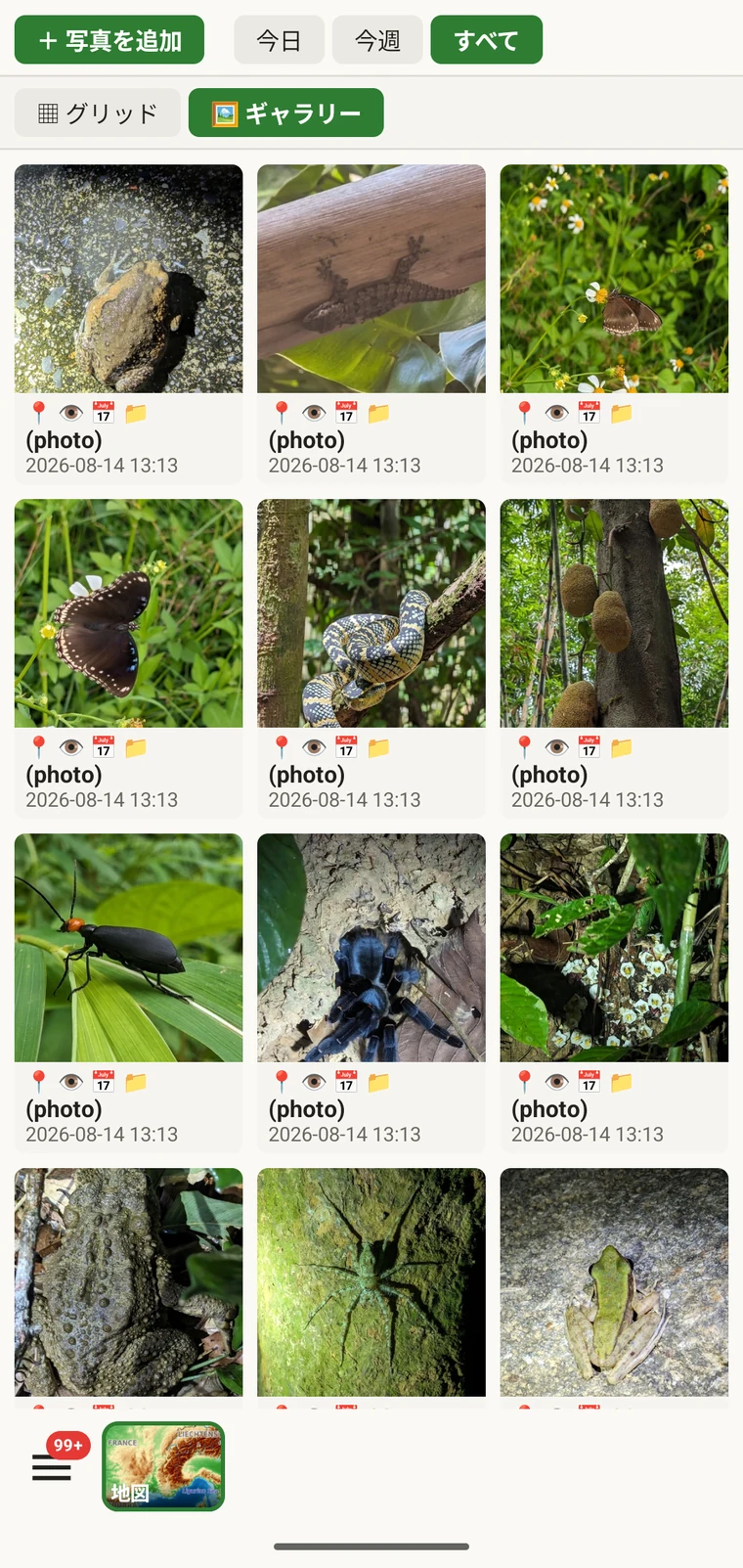
実際の用途は、写真が意図したレコードに確かに添付されたかを確認することです。野外で記録していると、添付が完了する前に写真を撮って次に進んでしまったり、誤った観察記録に添付してしまったりしやすいものです。ギャラリーは件数と目視での確認手段になります。観察記録を 10 件入力したのにギャラリーに写真が 7 枚しかなければ、写真のないレコードが 3 件あることになります。写真をタップすると、その親レコードに移動します。
エクスポート前のデータ修正
エクスポートの前にリストをひととおり確認すると、野外で起こりがちな問題の大半を見つけられます。
- 分類群リストを開き、酷似した名称を探します。綴りの揺れや異なる階級で入力された同じ種です。分類群名が全体で一貫するよう、該当する観察記録を修正します。
- Open the observation list, add the field you consider required in practice to the visible columns, then scan or sort that column for empty cells. Open each flagged record and fill in the missing value.
- Switch to the map and switch the basemap to Outline (see Map tools) so your own points are clearly visible against a plain background. Positions that landed in water or in the wrong valley stand out immediately. Tap to open and move the offending record.
- 写真ギャラリーを確認し、画像の枚数が想定と一致するかを確かめます。誤って割り当てられたように見える写真を開き、割り当て直します。
- データが問題ないように見えたら、エクスポート形式に進みます。
データの保存場所
All records are stored in a single SQLite database on the device. No account is required to create or read data, and your records leave the device only when you export them or use a connected service (Google Drive, Dropbox, Zenodo, iNaturalist). Map tiles, weather, GBIF look-ups and AI identification are fetched from their providers when you use those features. Recording works entirely offline from the moment you create a project.
A full SQLite backup is one of the twelve export formats. It produces a .db file that is a complete copy of the app's database — every project, every table as it sits on disk — readable by any SQLite tool. It is for analysis and archiving, not for restoring into the app; for device-to-device backup use Backup & Restore under Menu → Admin → Account, which backs the database up to Google Drive. See Export formats for all twelve options.