EarthCape · Android · Free
Records observations against a survey protocol, draws a vector topographic basemap of the whole planet that you download for offline use, and exports to the formats a data repository will accept.
No account required. Works with no signal. Your records stay on the device unless you export them.

What is in it
Exports to
Darwin Core Archive/ GBIF DwC-DP/ Frictionless Data Package/ GeoPackage/ Shapefile/ GeoJSON/ KML/ GPX/ GML/ MapInfo MIF/MID/ Excel/ SQLite
The map
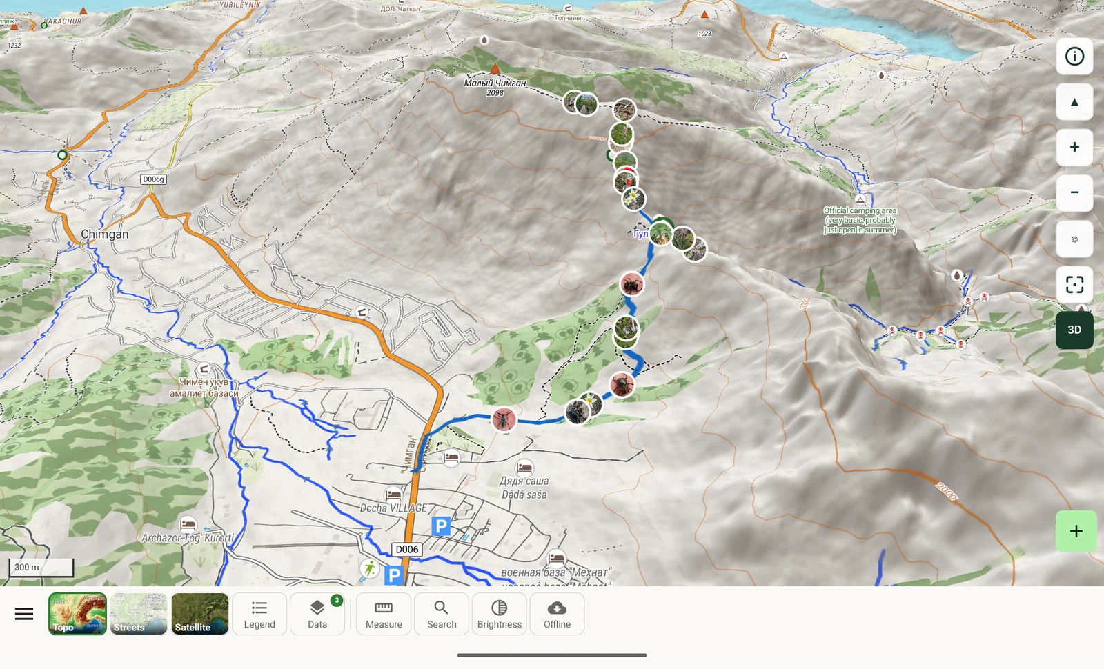
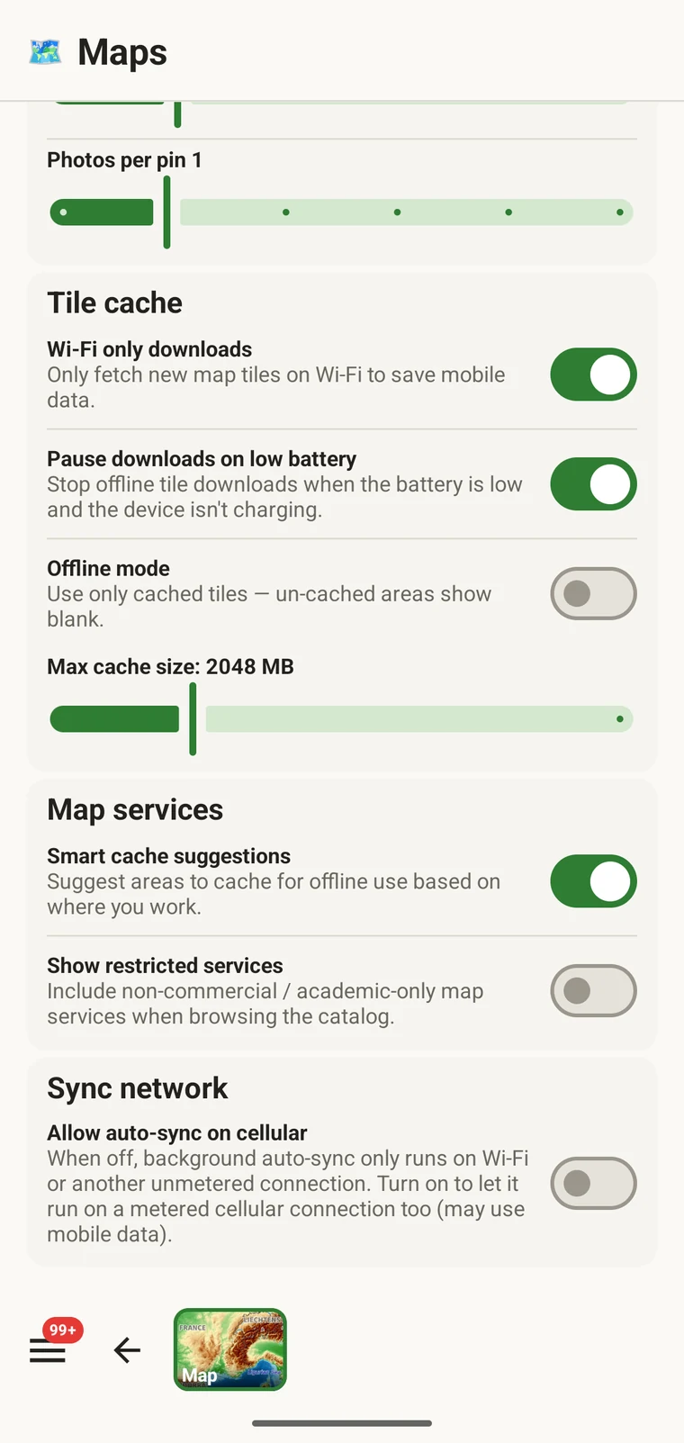
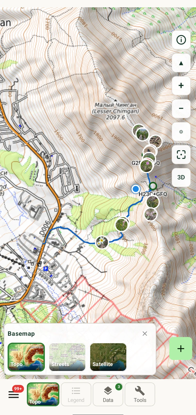
The topographic, streets and outline basemaps are an OpenMapTiles vector rendering of the whole planet, built and served on our own servers. Because no third-party provider sits behind them, the map features below are free and offline downloads have no limit. The satellite view is Esri World Imagery and needs a connection.
Offline packaging
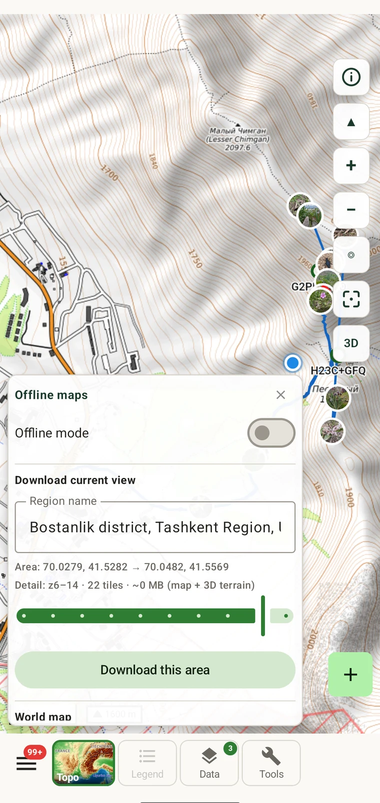
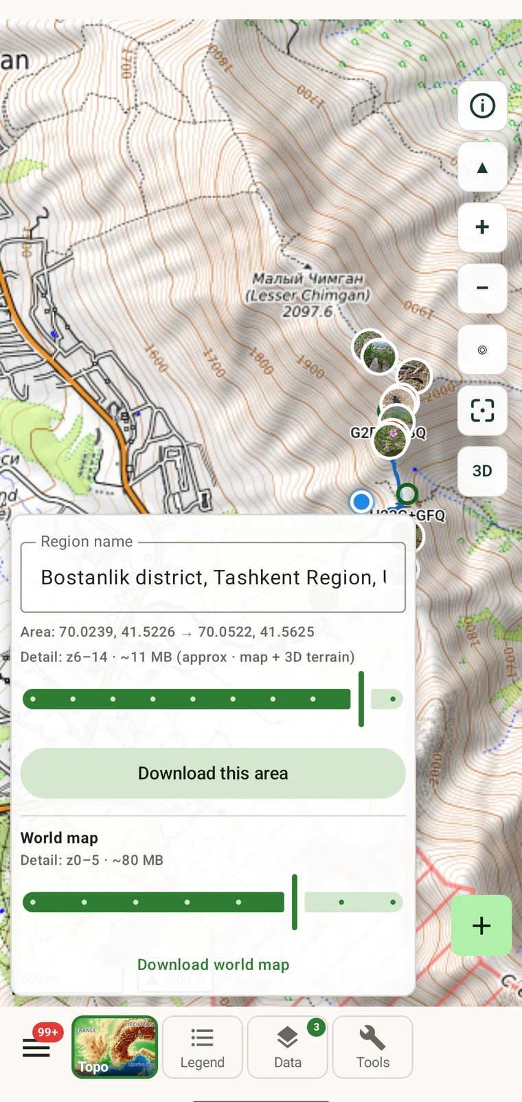
Frame the area on the map. The app suggests a name from the place names it covers (an online lookup), estimates the download size, and stores it. Terrain is included, so relief and 3D also work without a network connection.
On the map
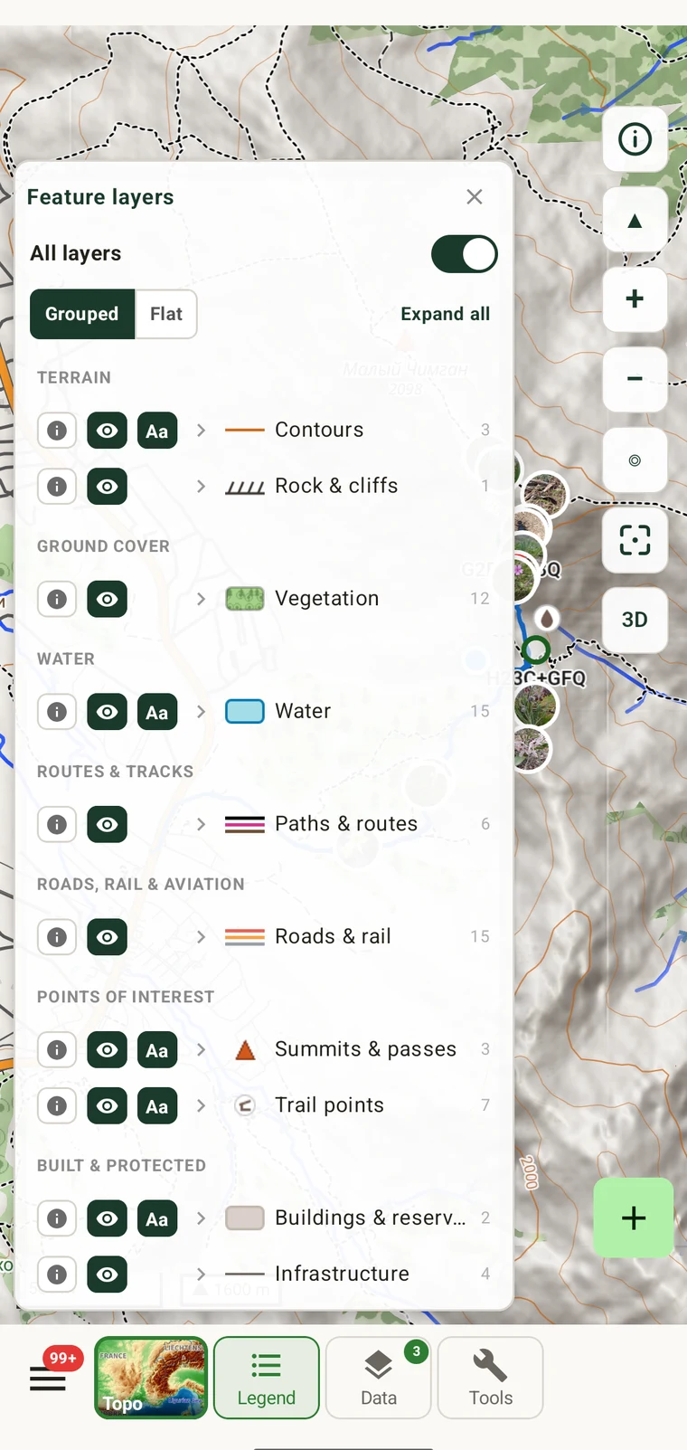
These tools read the same vector tiles that make the map work offline. Measurement, route snapping and the legend all run on the device, so they behave the same in the field as they do at a desk.

Recording
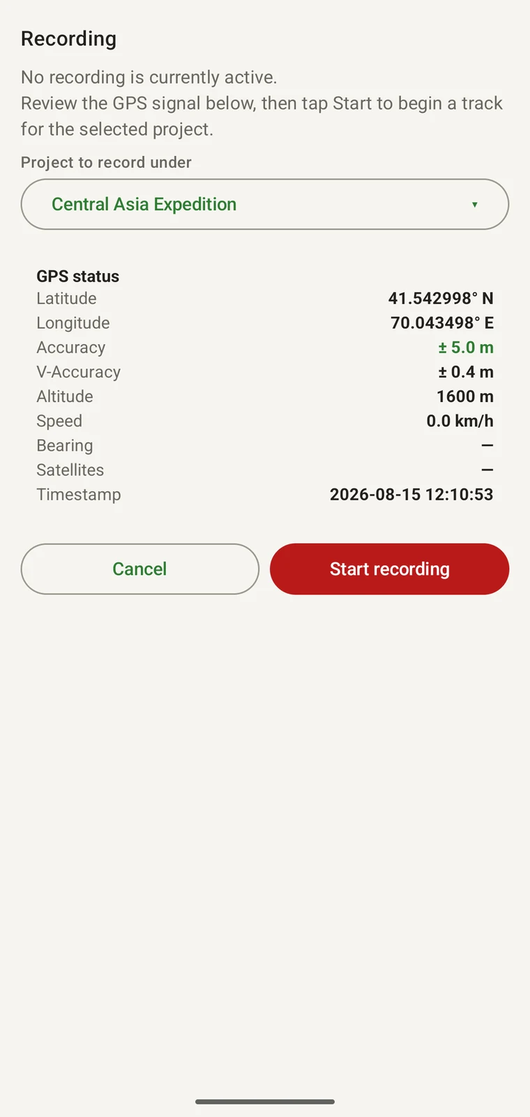
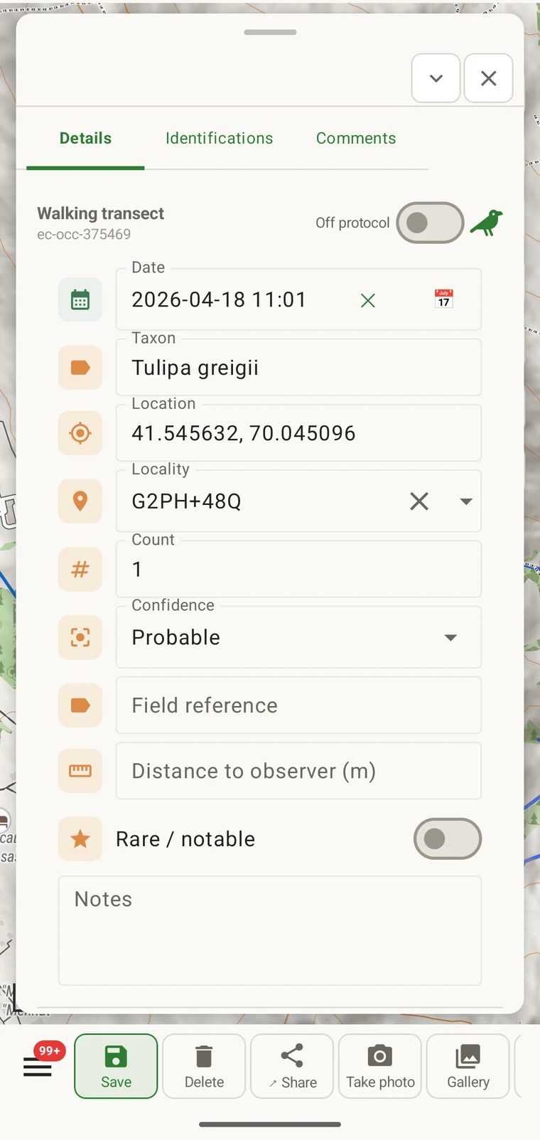
An observation carries a position, a taxon, a time and the fields its protocol requires. The app shows the GPS fix quality before you record, and track recording continues in the background while you enter observations.
Forms
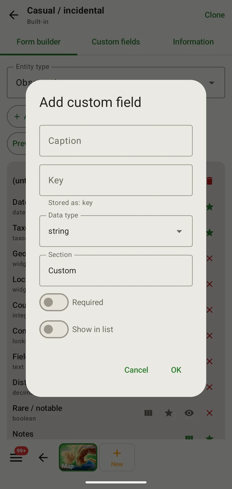
Every entity has a form you can lay out yourself: which fields appear, in what order, under which headings, plus fields the app does not ship with. Configure it before the season and everyone on the survey enters the same data the same way.

Protocols
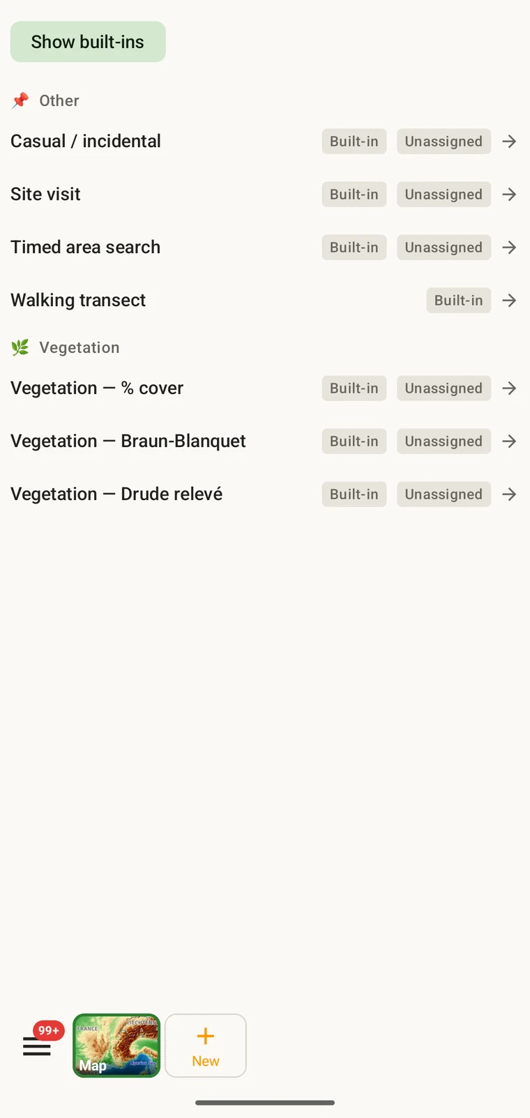
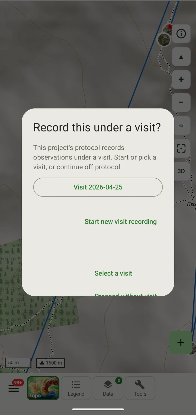
A protocol defines what a record has to carry: which fields are required, what the units are, and what counts as a complete observation. Use one of the included protocols, or write the one your project runs.
Your data on the device
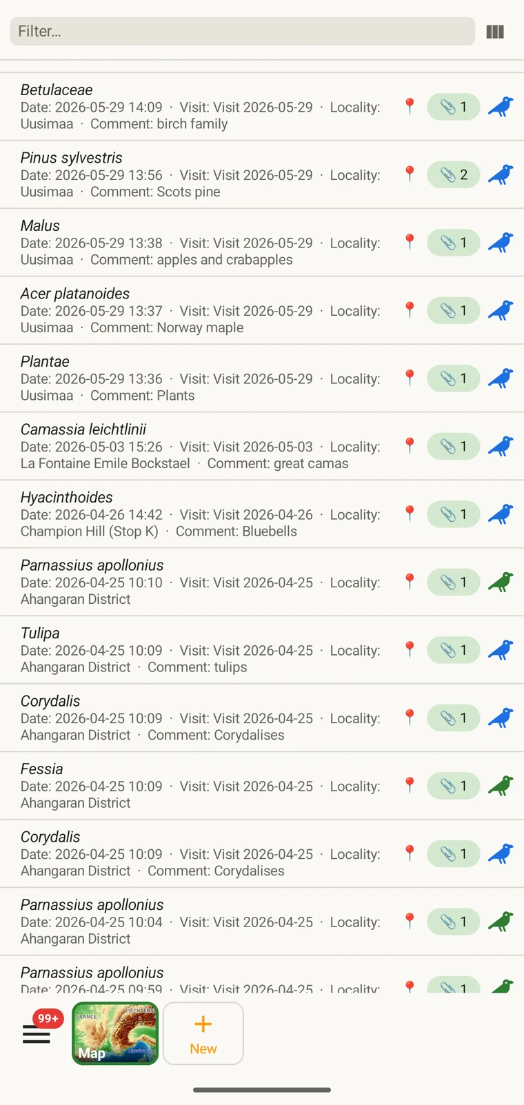
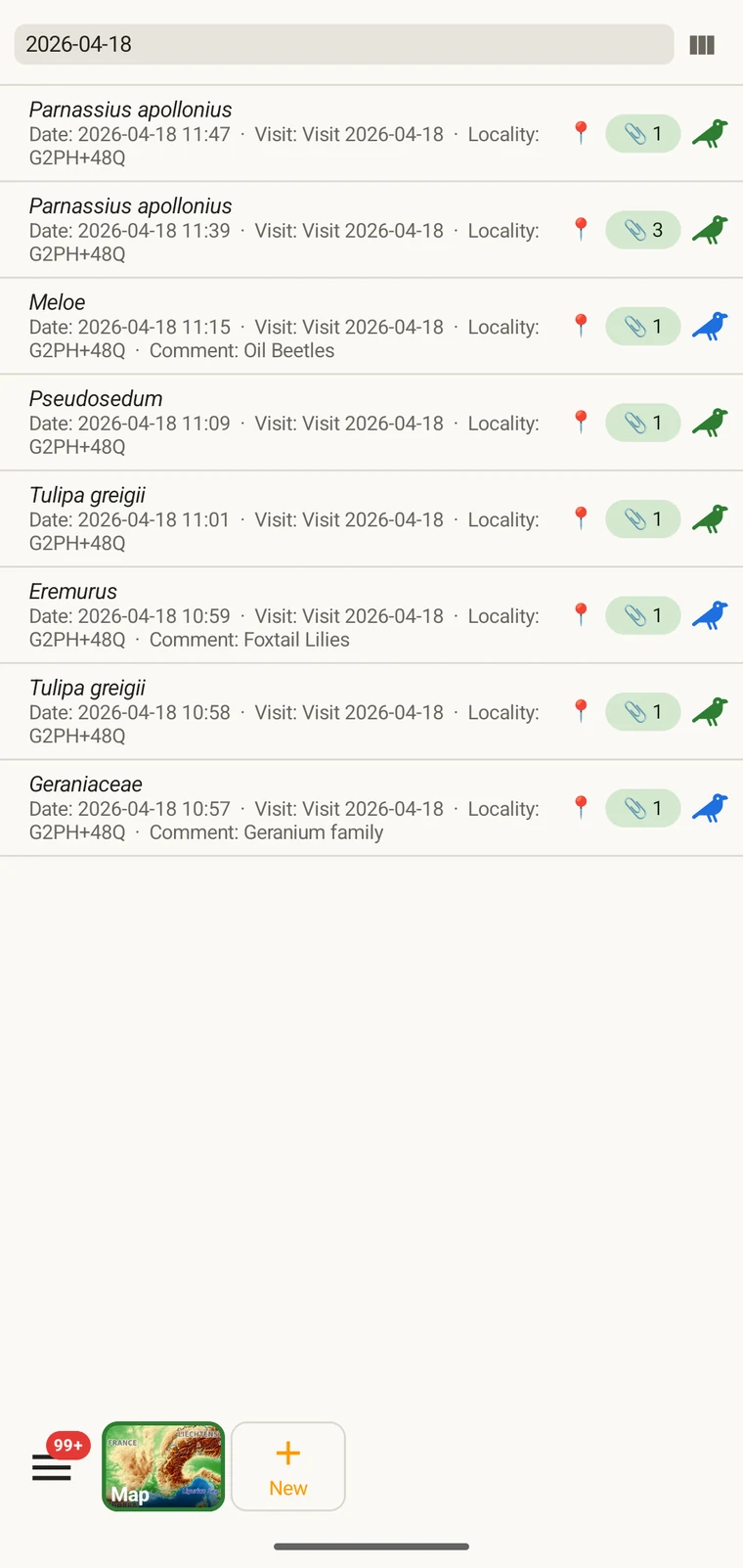
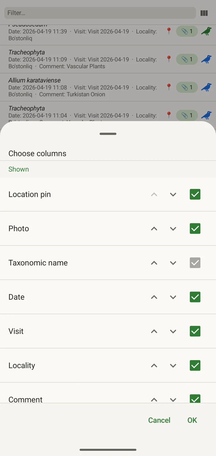
Records are held in a database on the device. Lists behave like a data grid: choose the columns, filter and sort them, open a record and correct it. Lists, filters and corrections run against the local database and need no connection.
Export
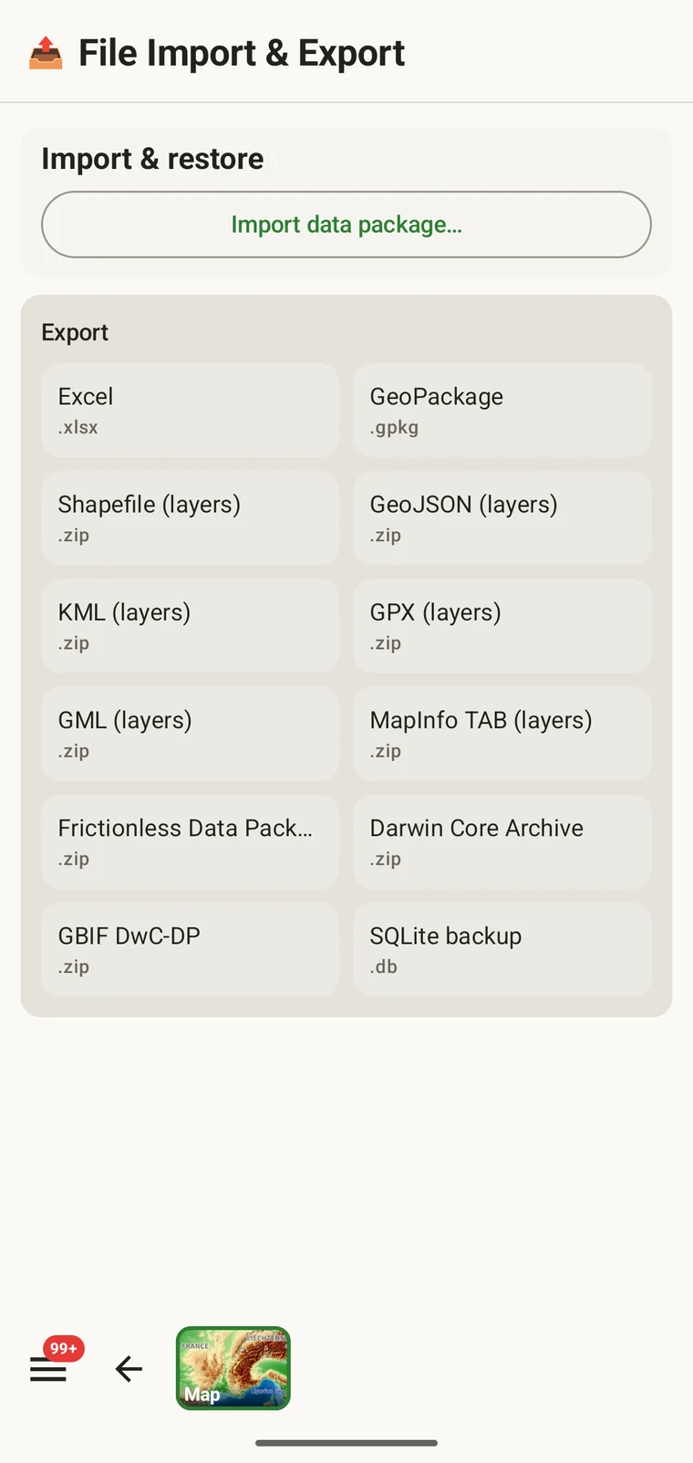
Records export as Darwin Core for a repository, GeoPackage for a GIS, Excel for a spreadsheet, or a SQLite backup of the whole app database. No format is proprietary, and no export requires an account.
Google Drive
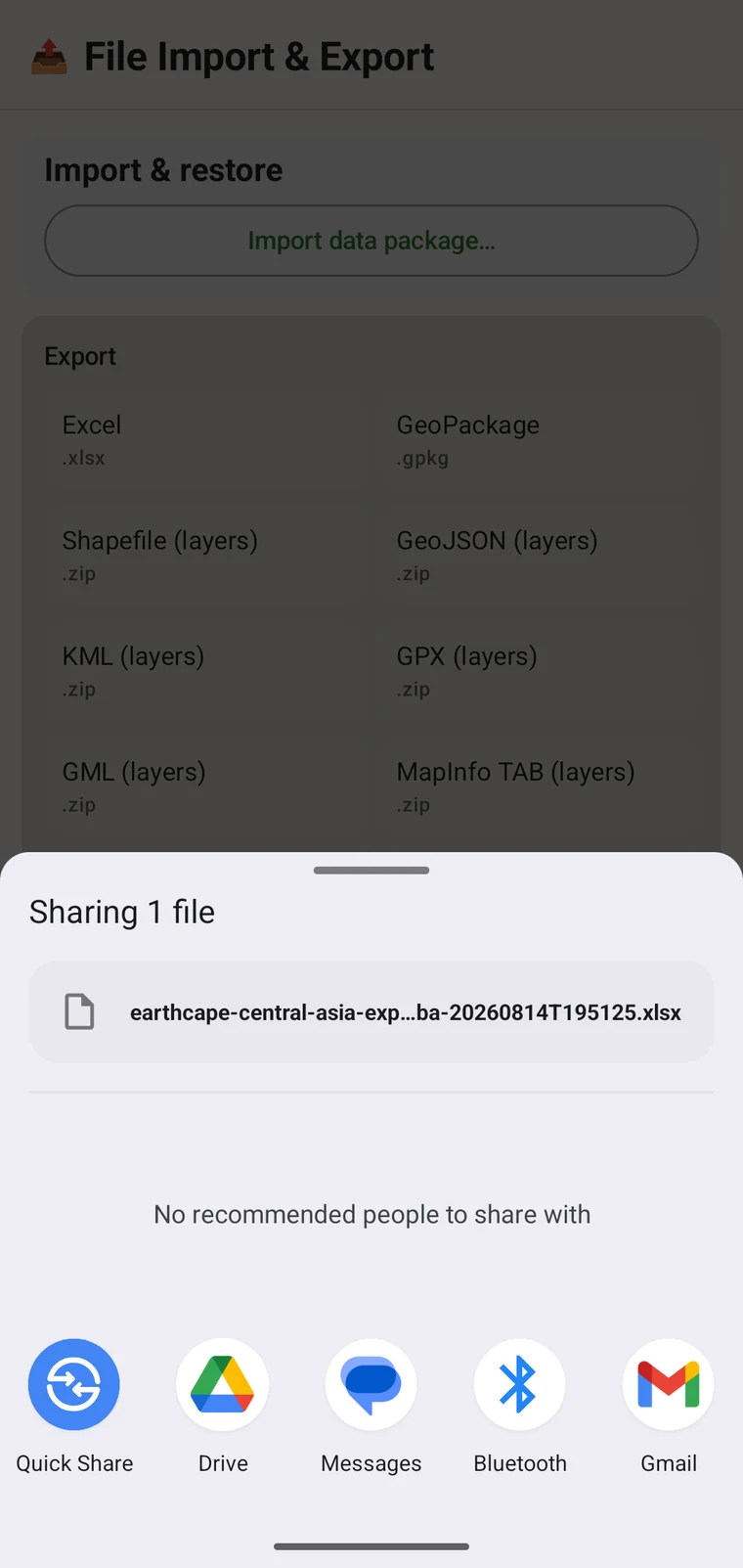
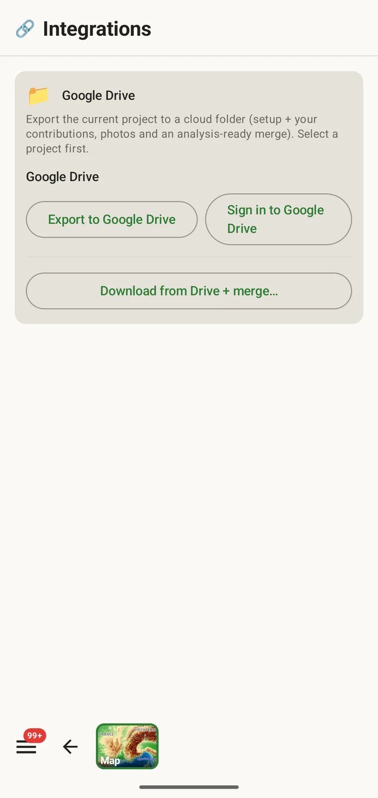
Point the app at a Drive folder and it writes the project there: the setup, your own contributions, the photos, and an analysis-ready merge of everyone's records. Anyone pointed at the same folder downloads it and merges it into their copy. This covers a multi-person survey without a server or an account.
Integrations
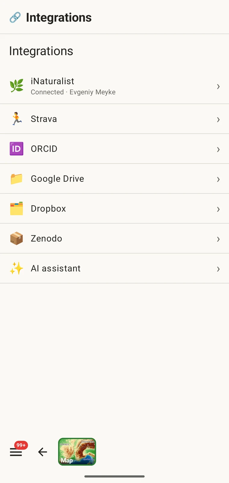
Two of the largest biodiversity datasets are reachable from the app: your own iNaturalist observations, and the published occurrence record for the area around you. Both connect to the project you are recording.
iNaturalist
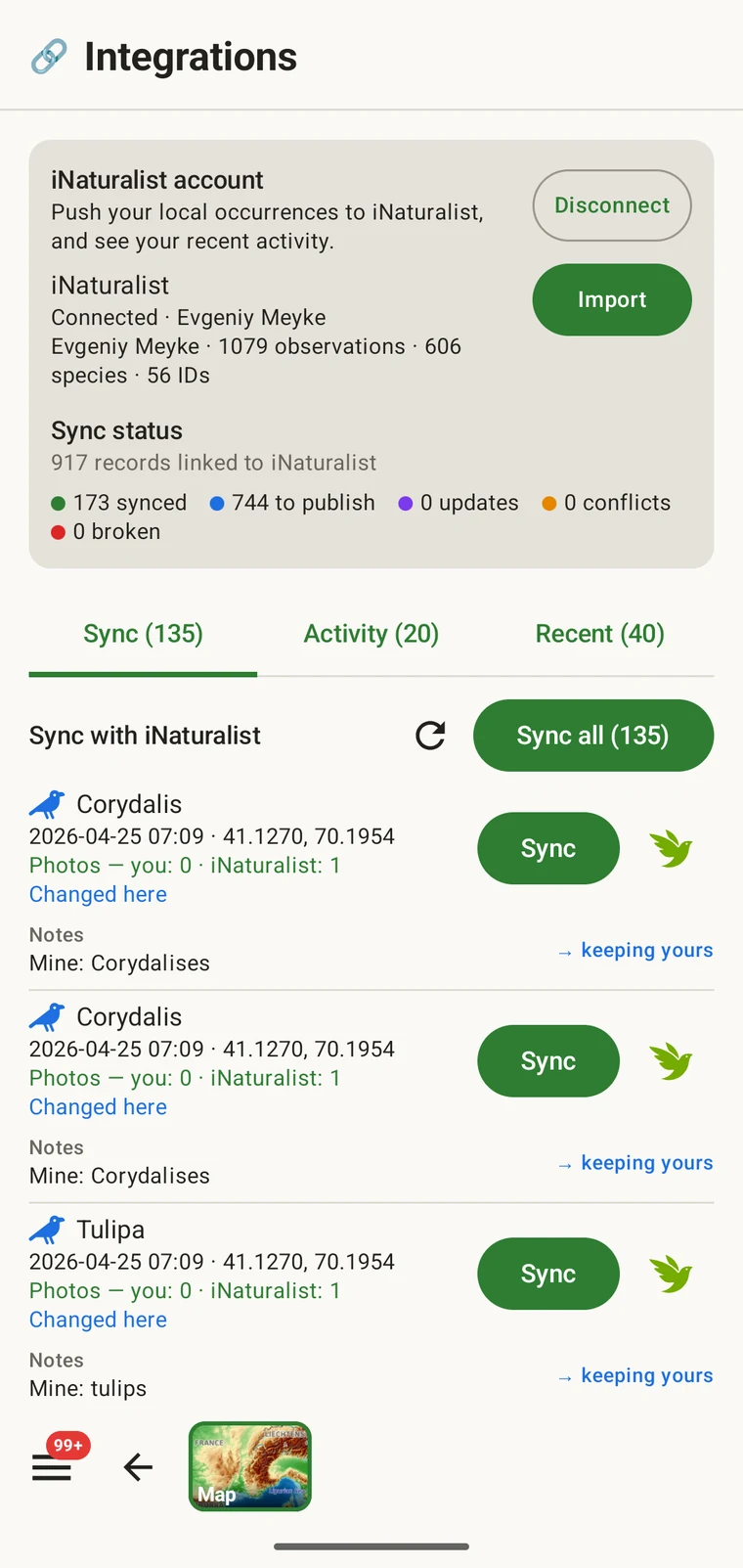
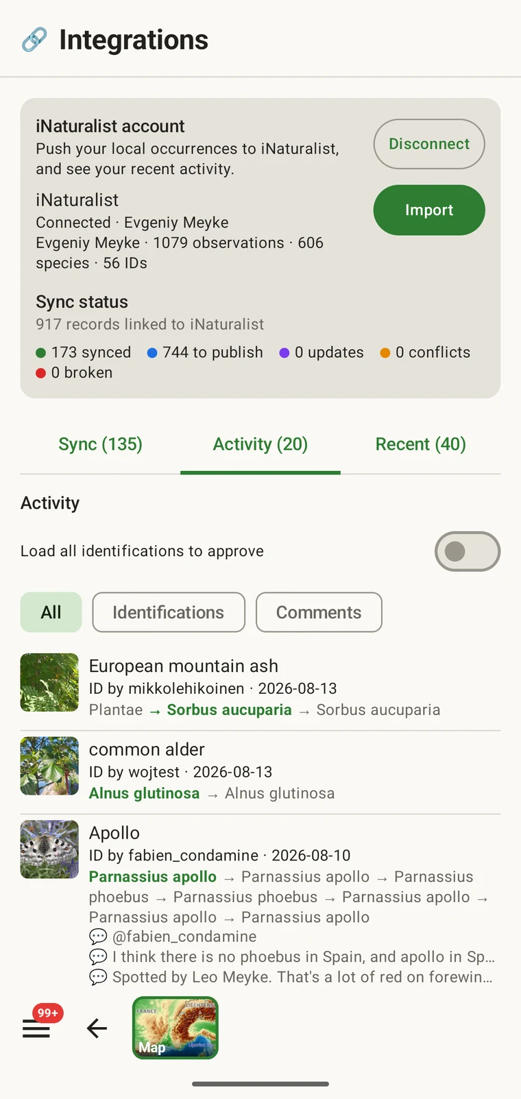
Connect the account you already use. Import your iNaturalist observations into the project so field records and iNaturalist records sit in one dataset, and send records back the same way — the ones you pick, when you pick them.
GBIF
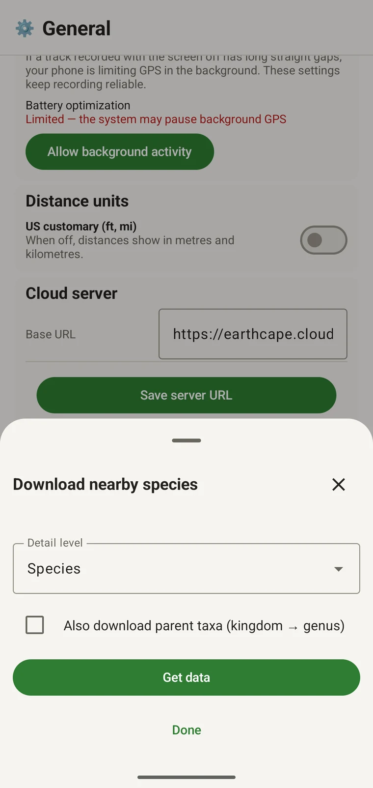
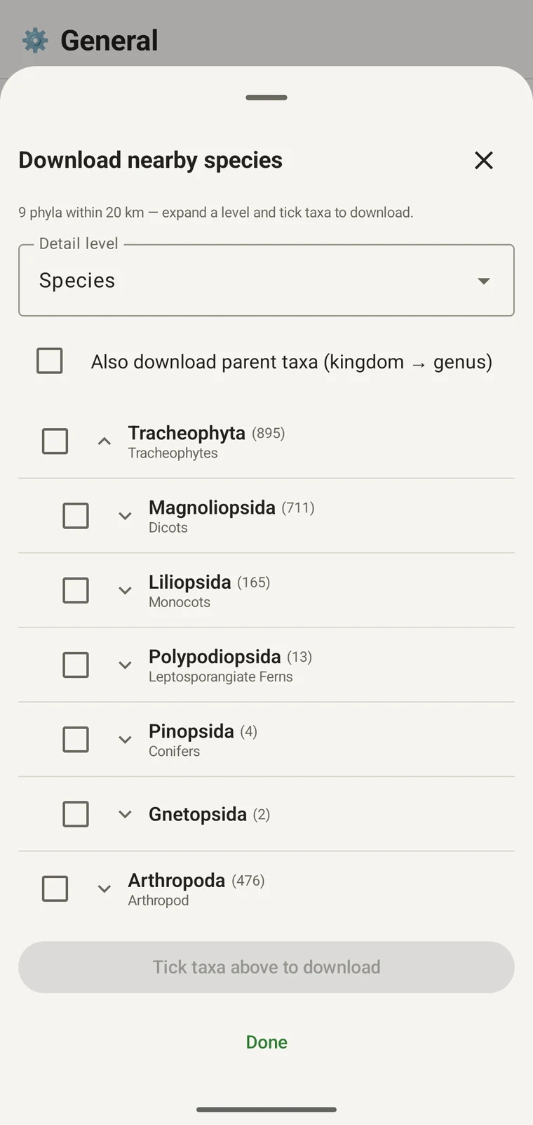
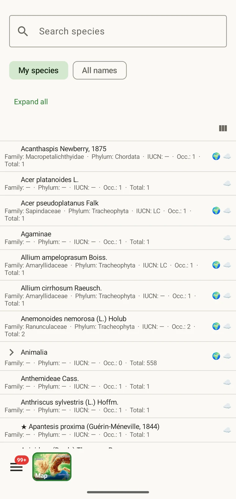
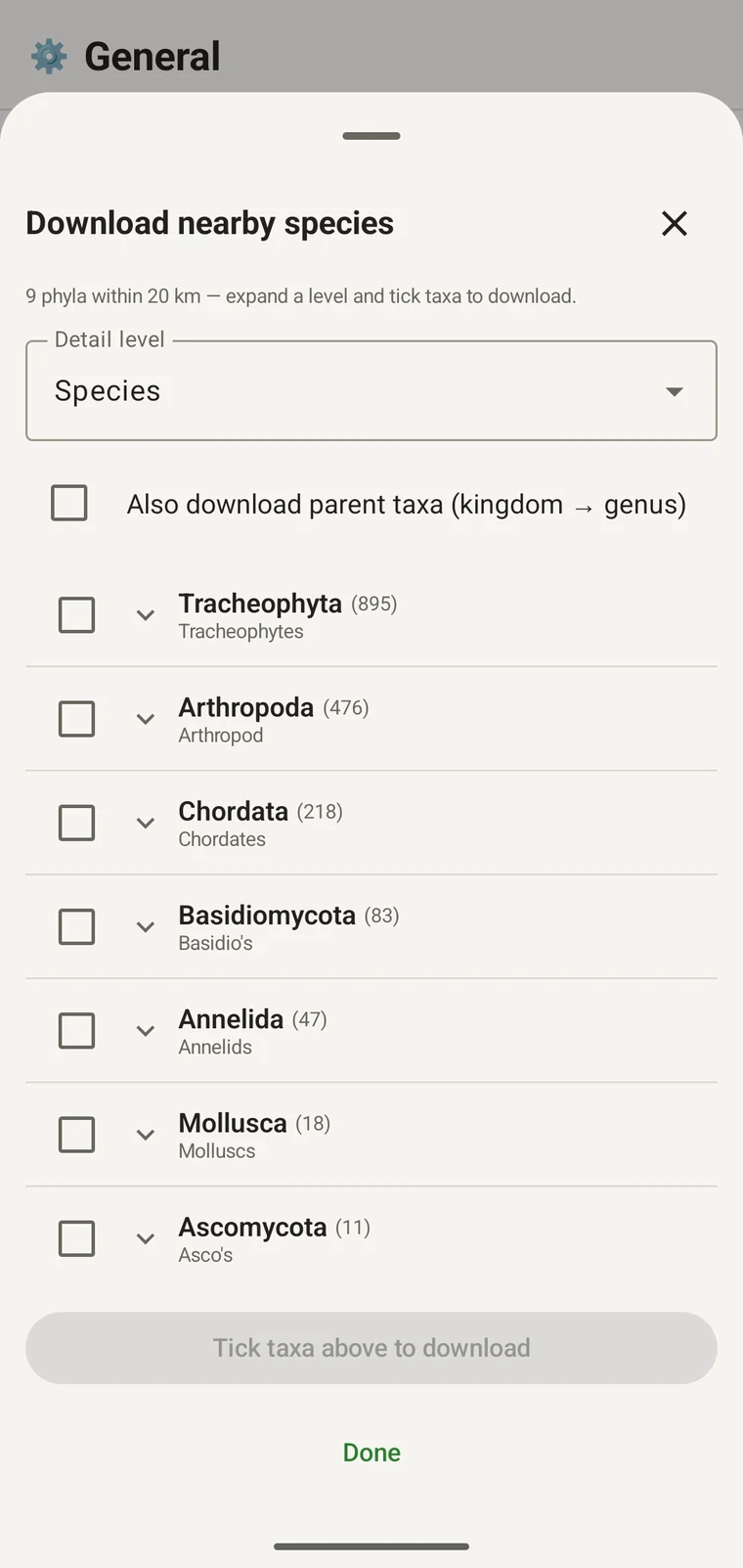
The nearby-species browser queries GBIF around your position and returns the occurrence record as a taxonomic tree with counts. Expand a level, select the taxa you need, and the names are downloaded to the device for offline use.
Tablets
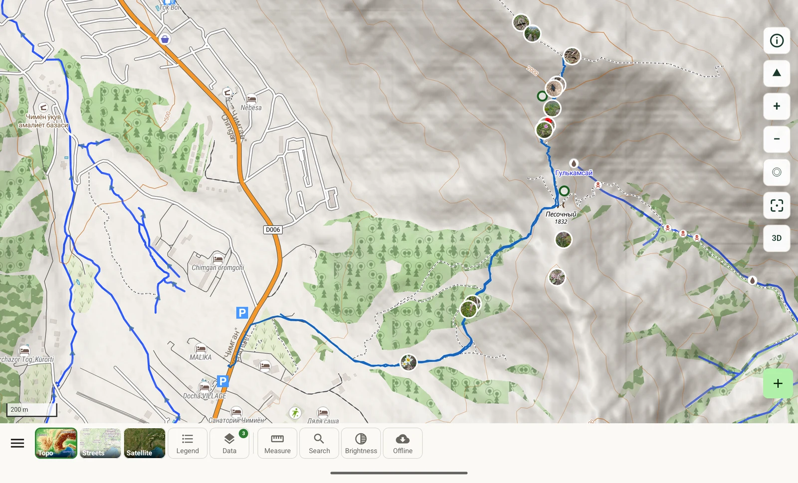
The same app with a tablet layout: panes side by side, the map toolbar placed on the map instead of behind a sheet, and room to keep a record open next to the map it refers to.
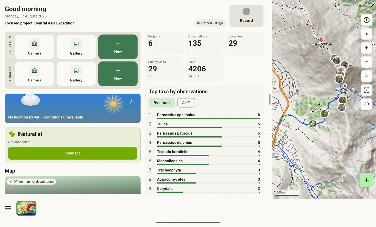
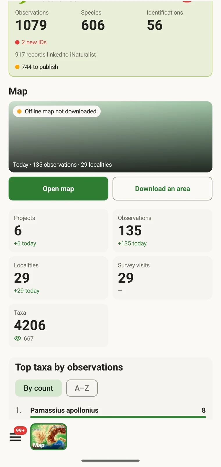
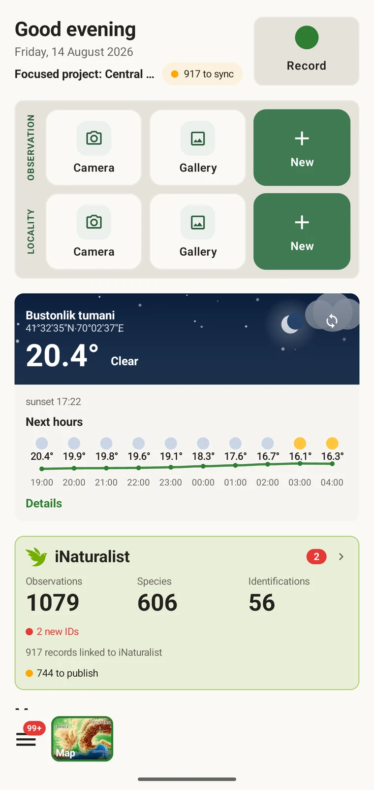
The dashboard splits into three columns instead of one scrolling list.
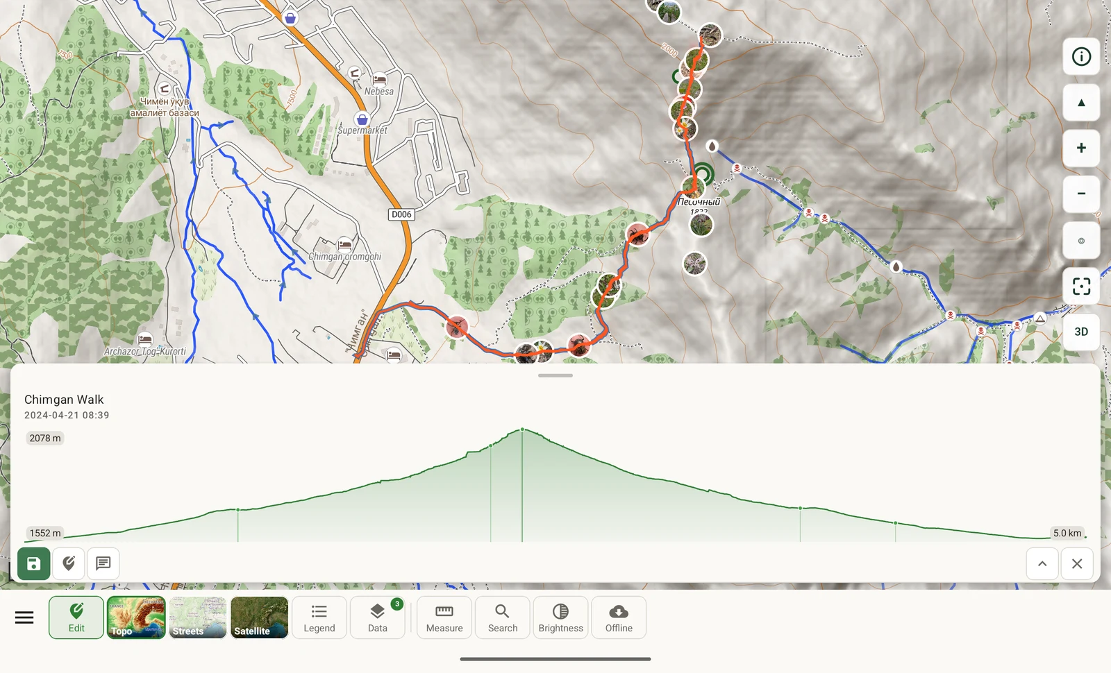
Recording keeps the map and the record card visible at once.
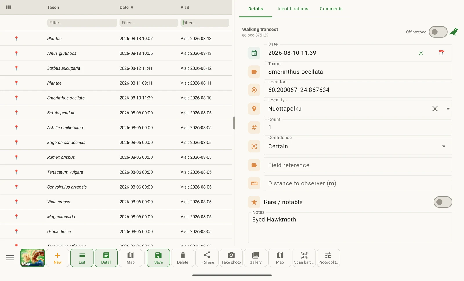
The observation list and the record you picked from it, side by side.
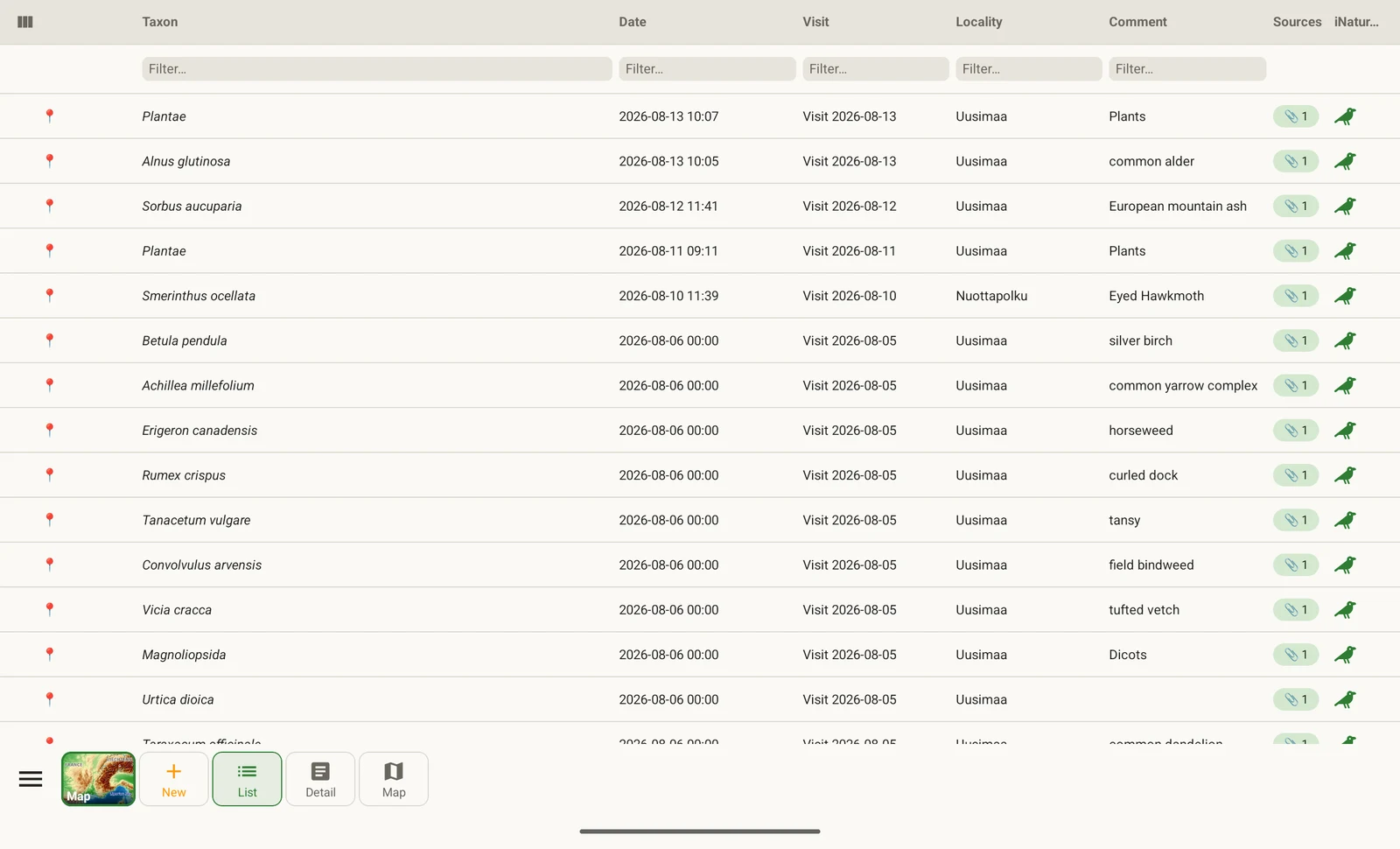
Close the detail pane and the list takes the full width, with more columns.
Languages
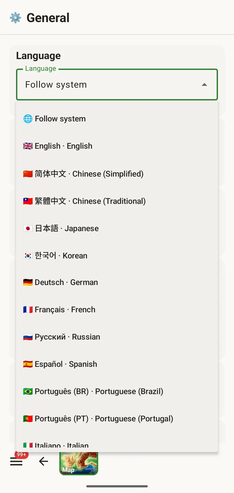
Field labels, protocol names, map tools, export screens and error messages are translated, not only the menus, and the layout mirrors for right-to-left scripts.
English/العربية/Deutsch/Español/Français/Bahasa Indonesia/Italiano/日本語/한국어/Nederlands/Polski/Português/Português (Brasil)/Русский/Türkçe/Українська/Tiếng Việt/简体中文/繁體中文
Language documentationWhat the app contains, in full.
The app does not expire, show advertising or require an account.
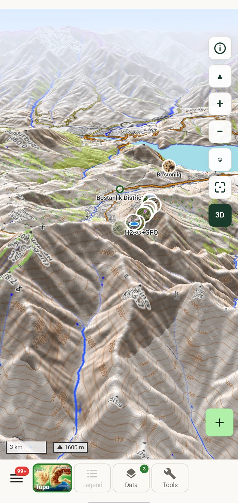
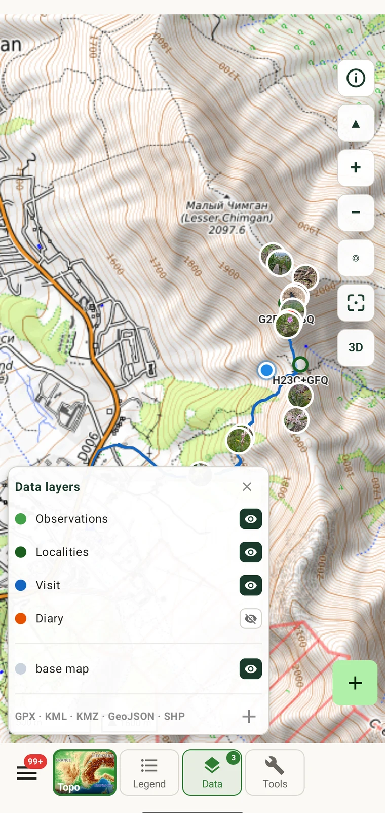
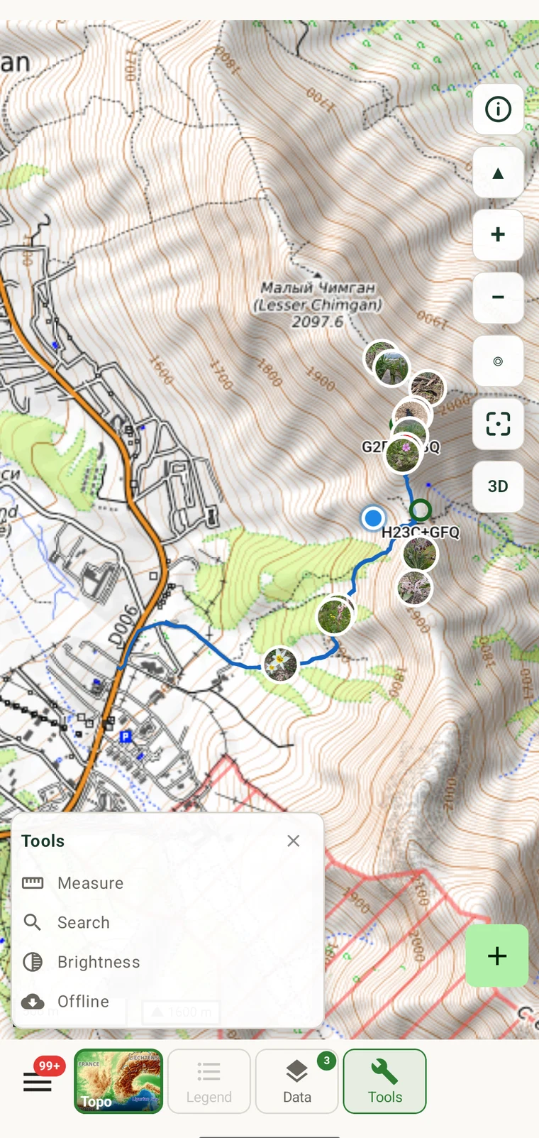
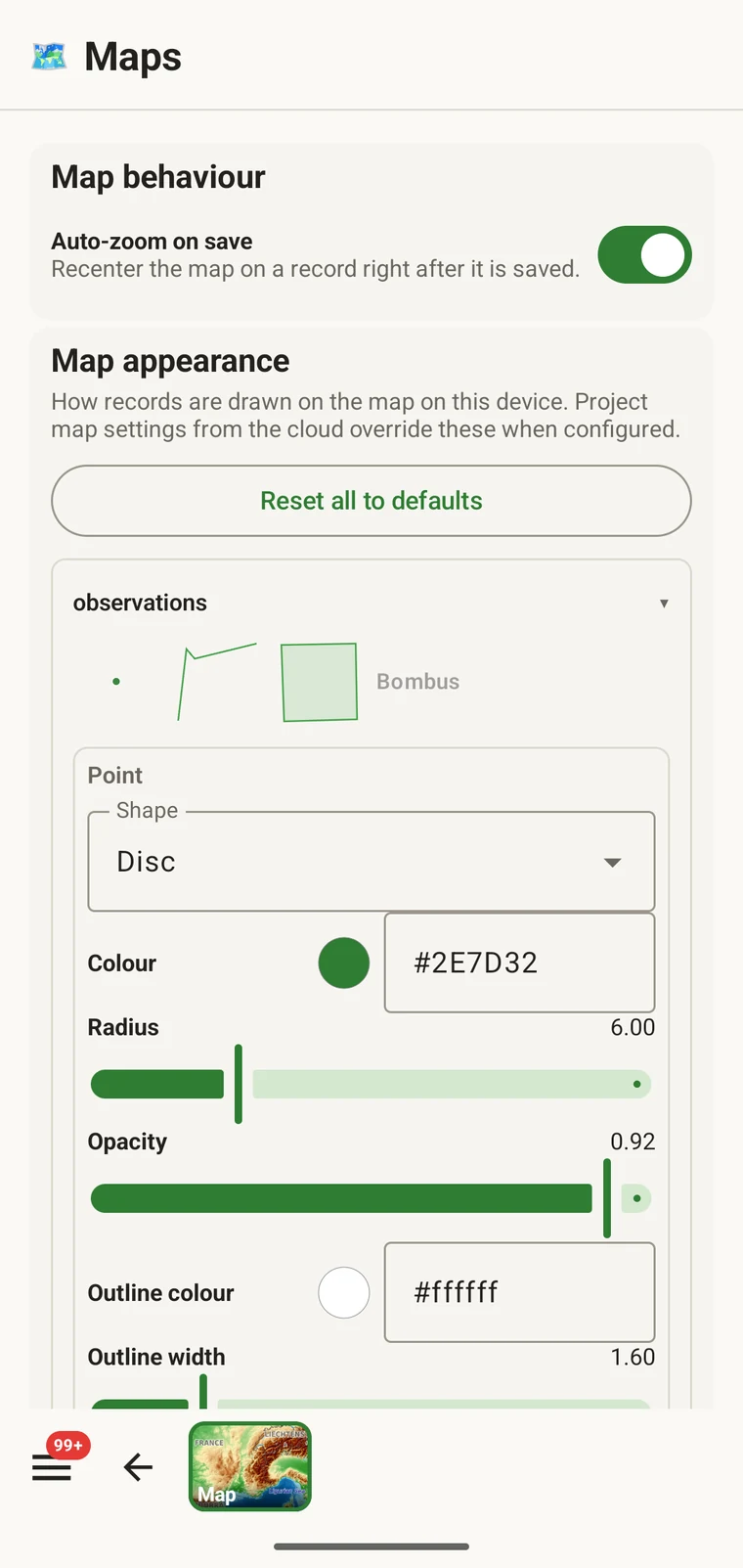
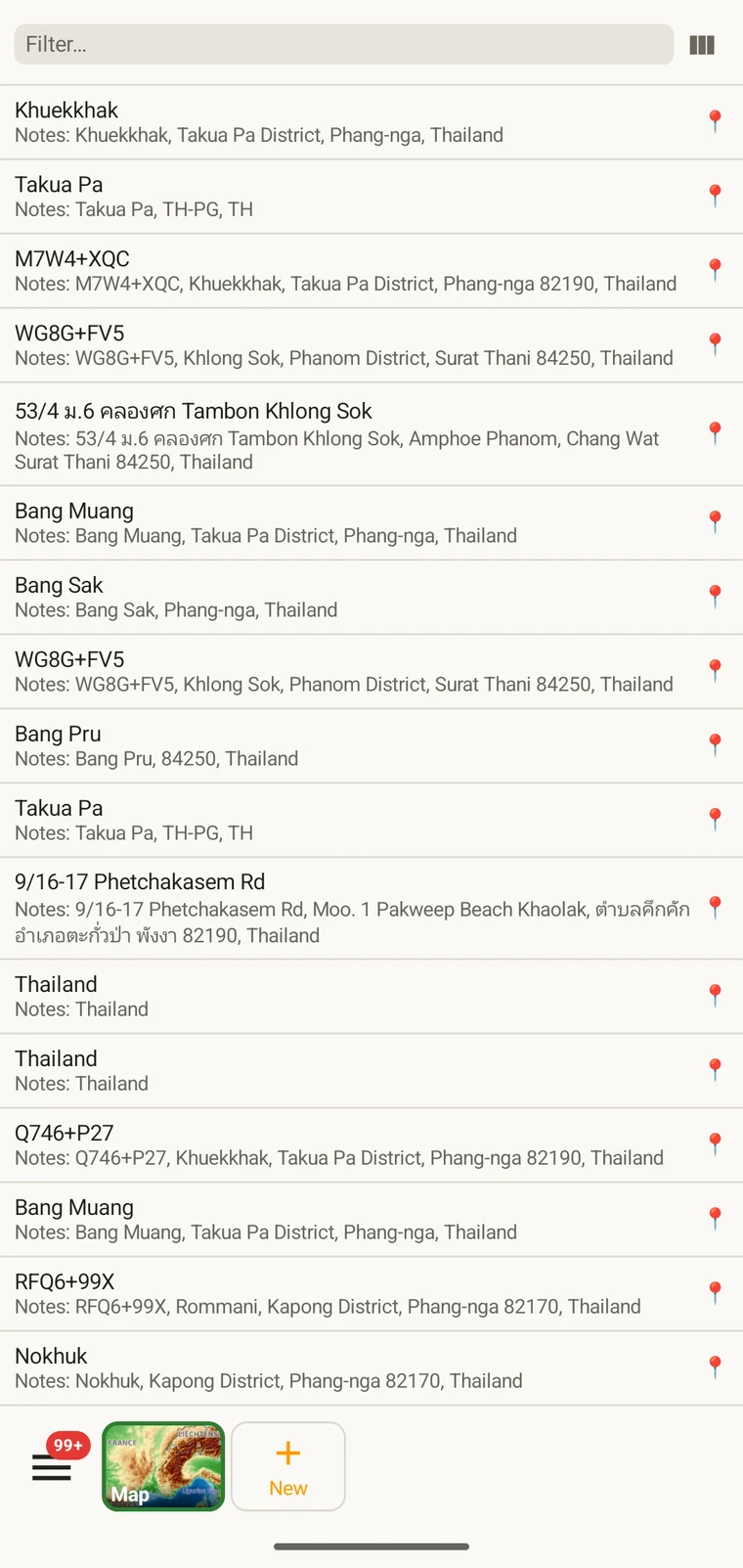
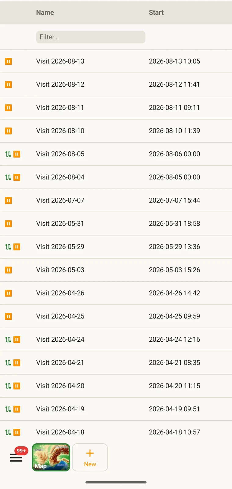
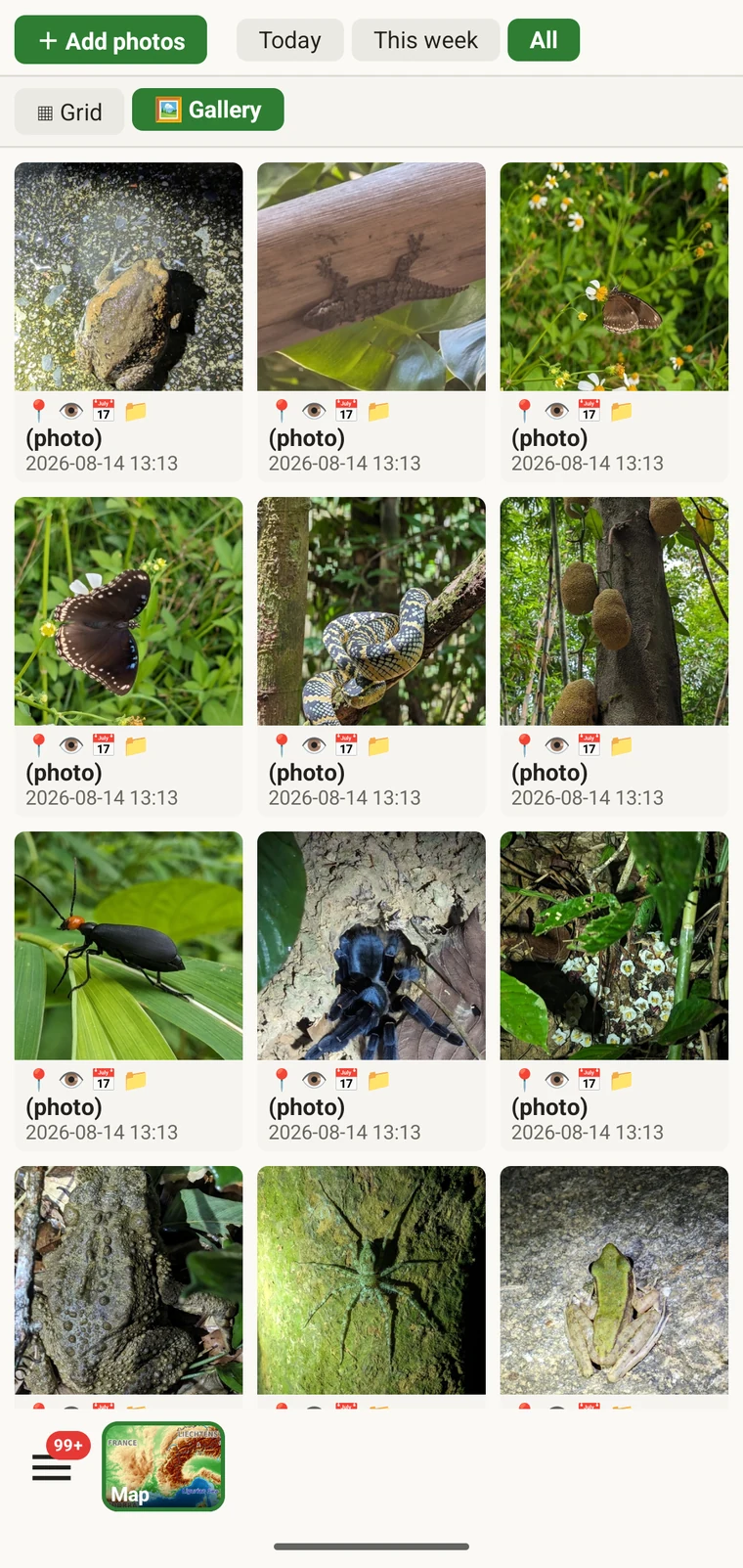
Screens from the app, recorded over a mountain survey.
A season, end to end
Choose a protocol, lay out the forms, add the fields your method needs. Export the package and hand it to everyone else on the survey.
Frame the working area and store it: map, contours and terrain, zoom 6–14. Add the world overview at zoom 0–5 for everywhere else.
Start a track, open a visit, enter observations against the protocol. No network connection is needed, and nothing is queued for upload.
Darwin Core for the repository, GeoPackage for the GIS, or a Drive folder the whole team merges through.
Yes. The whole app, not a trial of it. No account, no advertising, no expiry.
Because we run the tile server. The basemap is an OpenMapTiles rendering of the planet built and served on our own infrastructure, so there is no Google or Mapbox account behind the app, no per-tile billing and no usage cap to pass on to you.
A district-sized working area at zoom 6–14 is roughly 22 MB including 3D terrain. The world overview at zoom 0–5 is about 40 MB. The app estimates the size before you download and lists what is stored afterwards.
Yes. Recording, the map, measurement, the feature legend, the taxonomy and export all run on the device. Only the GBIF nearby browser, the iNaturalist hub and cloud destinations need a connection, and they wait until you have one.
Yes, through Google Drive. Each person exports their contributions to a shared folder and downloads the merged result back into their device. It is not live sync, but it needs no server and no account.
The app places named point localities. Polygon and line geometry is not part of it.
That is what the format list is for. Darwin Core Archive and GBIF DwC-DP map to Darwin Core and the GBIF data-package model, and GeoPackage, Shapefile, GeoJSON, GPX, GML and MapInfo MIF/MID open directly in QGIS and ArcGIS.
Yes. Protocols and forms are editable on the device at any time, and existing records keep the values they were entered with.
Install
In closed testing on Google Play with a small number of field projects. If you run a survey — repeat visits to the same sites, a protocol you already follow, data that has to end up somewhere afterwards — write and tell me what you survey, and I will send you access.
iOS is in preparation. See the privacy policy and support pages for details.