
資料
瀏覽您的資料
Records live in an ordinary database on the device. The lists behave like a data grid — you can inspect and correct your own observations without a round trip to a server. Column choice and filtering are available on every list, sorting by column header on a tablet, and every row opens directly into the record's edit form.
各份清單
Five lists cover the records you will check most often.
| 清單 | 內容 |
|---|---|
| 觀察記錄 | 專案中記錄的每一筆分類群出現記錄,含其表單欄位、位置、時間戳記與附加的相片 |
| 地點 | 作為訪查與觀察記錄空間定位依據的具名地點 |
| 訪查 | 將同一個地點、同一次作業中所做的觀察記錄分組的調查事件;請見記錄觀察 |
| 分類群 | The species list for this project — the taxa actually recorded — with a switch to browse the full reference taxonomy |
| 檔案 | Photos and attachments across the whole project, shown as a grid or gallery |
觀察記錄清單
The observation list is the main working view for checking what was recorded. On a tablet, tap a column header to sort by it and tap again to reverse the order. Tap any row to open the observation's detail form, where you can correct any field and save.
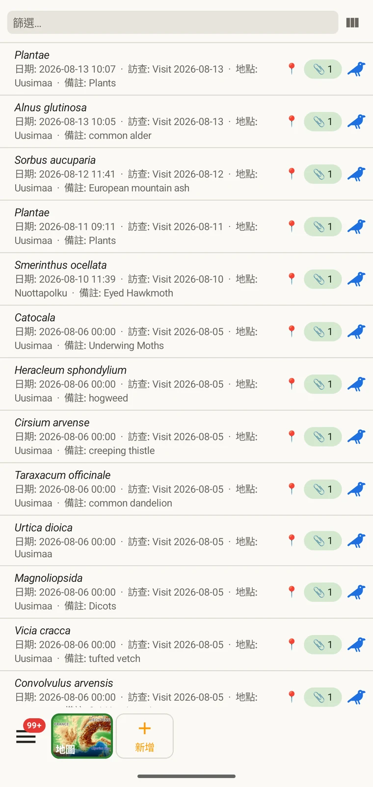
The list always shows the project's complete set of observations. On a tablet, use sorting to spot outliers — sorting by date surfaces any records with an implausible timestamp, and sorting by taxon groups occurrences of the same species so you can compare their field values.
選擇欄位
欄位挑選器讓您選擇清單中要顯示哪些欄位。點選欄位挑選器圖示即可開啟。
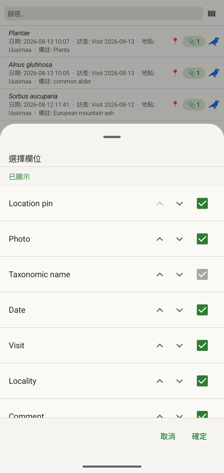
Every custom field appears in the picker; Show in list only decides whether it is on by default (see Forms and custom fields). A practical approach: put the two or three fields you are checking for errors into the list so a visual scan catches them without opening individual records. If you are checking whether abundance counts were filled in, add that column; if you are verifying that the observer name is consistent, add that one instead.
篩選
Type in the filter box above the list to narrow it. On a phone one box matches your text against every column shown in the list — taxon, date, visit, locality, comment and any custom column you have added. On a tablet each column has its own filter box under the header, and the boxes combine: typing in two columns returns only rows that match both.
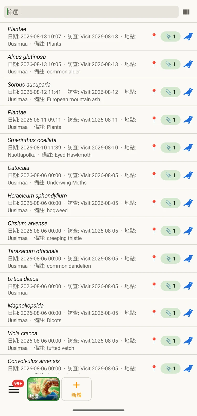
Example — everything recorded on one date. Type the date, for example 2026-04-18, into the filter box. Every observation from that day remains; clear the box to see all rows again.
Filtering matches text that is present. To find records where a field was left blank, add that field as a column and scan the list, or sort by that column on a tablet so the empty cells group together.
訪查與地點
訪查清單與地點清單讓您可以獨立於觀察記錄本身之外,檢視專案的空間與時間結構。
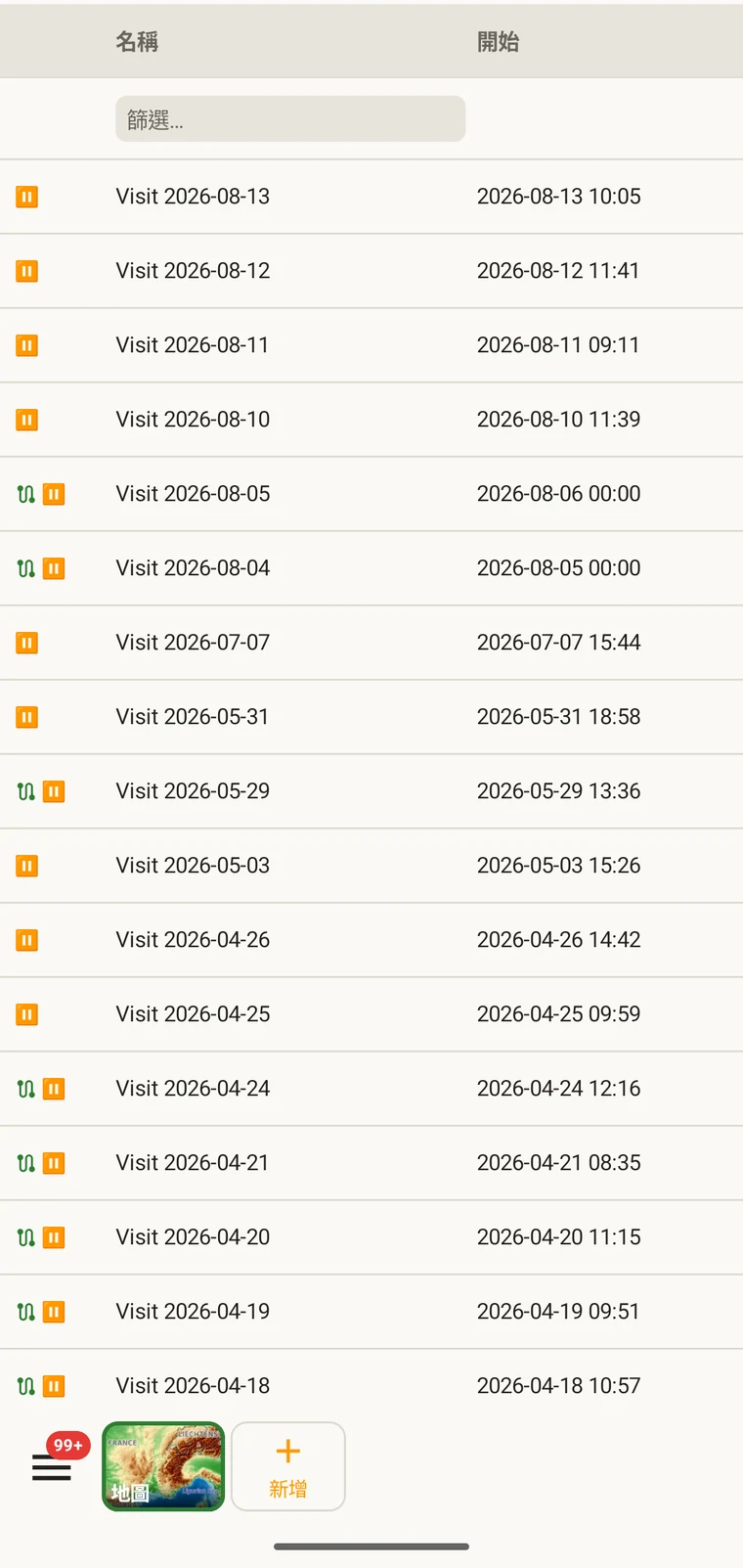
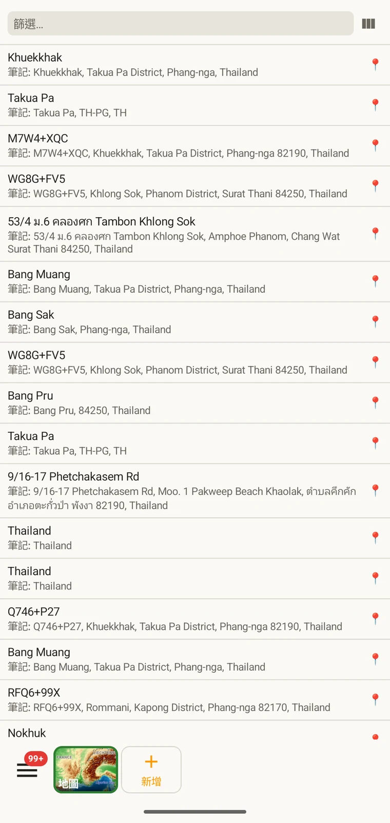
A visit is the survey event that connects a locality to a set of observations made during one session. Opening a visit from this list shows which observations were recorded under it. The localities list shows every named place in the project; tapping one opens its form so you can check or correct its name and position. Both lists filter and open to their edit forms in the same way as the observation list. See Recording observations for how visits and localities are created in the field.
分類群
The taxa list opens on My species — the taxa recorded in the project. Switch to All names to browse the downloaded Catalogue of Life names.
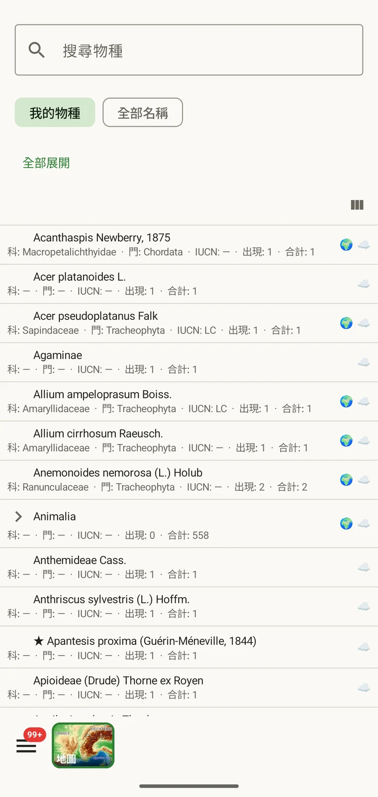
My species is the useful view before export, because it is the project's working species list. It is where you check for spelling inconsistencies and near-duplicate names that arose from entering the same species differently across sessions — for example Tulipa greigii entered once with a capital G, or a vernacular name used as a taxon name on one record. The full reference taxonomy is also available through the search on the observation entry form (see Recording observations).
相片
檔案檢視會把專案中所有附加的影像呈現在單一格狀檢視中。
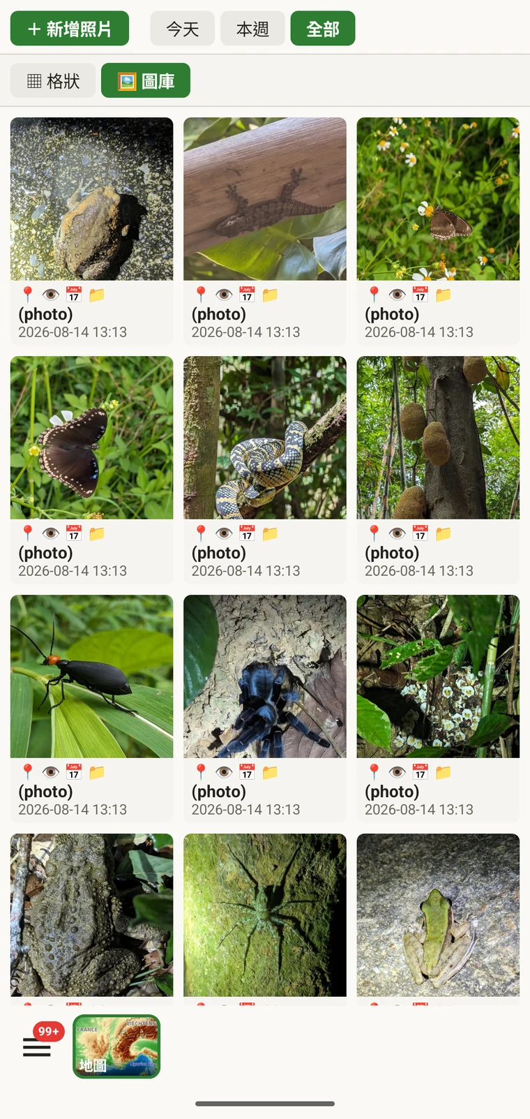
它的實際用途是確認相片確實附加到您以為的那些記錄上。在野外記錄時,很容易在相片尚未附加完成前就繼續往前走,或把相片附加到錯誤的觀察記錄上。圖庫提供計數與視覺檢查:如果您記錄了十筆觀察記錄,而圖庫只顯示七張相片,就有三筆記錄沒有相片。點選任一張相片,即可前往它所屬的記錄。
匯出前更正資料
匯出之前快速看過各份清單一遍,就能找出最常見的野外資料問題。
- 開啟分類群清單,掃視是否有近似重複的名稱,也就是同一物種以不同拼寫或不同階層輸入。請更正有問題的觀察記錄,使分類群名稱前後一致。
- Open the observation list, add the field you consider required in practice to the visible columns, then scan or sort that column for empty cells. Open each flagged record and fill in the missing value.
- Switch to the map and switch the basemap to Outline (see Map tools) so your own points are clearly visible against a plain background. Positions that landed in water or in the wrong valley stand out immediately. Tap to open and move the offending record.
- 檢查相片圖庫,確認影像數量符合預期。開啟任何看起來歸屬錯誤的相片並重新指派。
- 當資料看起來正確時,請前往匯出格式。
資料儲存在哪裡
All records are stored in a single SQLite database on the device. No account is required to create or read data, and your records leave the device only when you export them or use a connected service (Google Drive, Dropbox, Zenodo, iNaturalist). Map tiles, weather, GBIF look-ups and AI identification are fetched from their providers when you use those features. Recording works entirely offline from the moment you create a project.
A full SQLite backup is one of the twelve export formats. It produces a .db file that is a complete copy of the app's database — every project, every table as it sits on disk — readable by any SQLite tool. It is for analysis and archiving, not for restoring into the app; for device-to-device backup use Backup & Restore under Menu → Admin → Account, which backs the database up to Google Drive. See Export formats for all twelve options.